
File:Louisville Skyline 2021 (3).jpg
Size of this preview: 800 × 439 pixels. Other resolutions: 320 × 176 pixels | 640 × 351 pixels | 1,024 × 562 pixels | 1,415 × 777 pixels.
Original file (1,415 × 777 pixels, file size: 1.44 MB, MIME type: image/jpeg)
| This is a file from the Wikimedia Commons. Information from its description page there is shown below. Commons is a freely licensed media file repository. You can help. |
Summary
| Description |
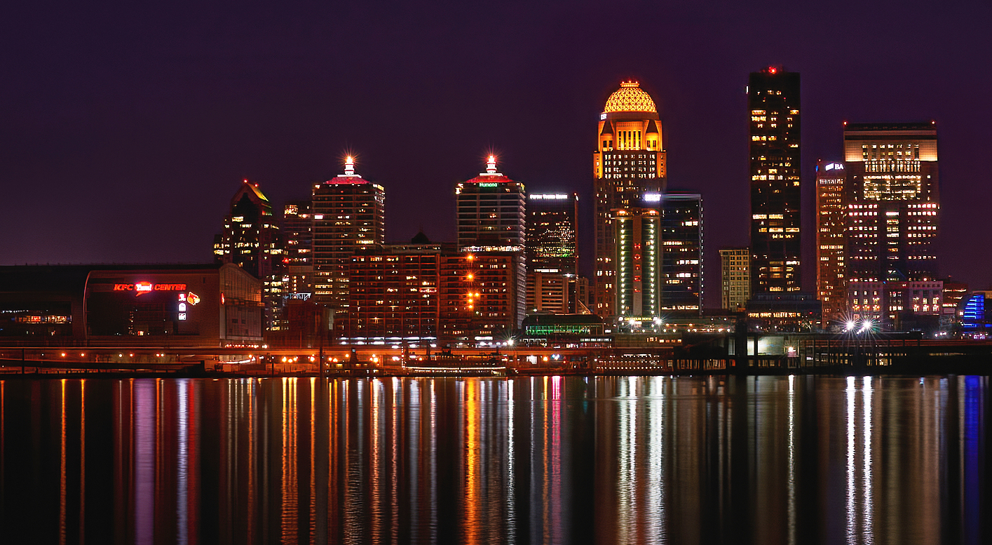
English: The skyline of Louisville, Kentucky, lit up at night, featuring the KFC Yum! Center and 400 West Market, among other buildings. Taken in 2021. Modified (cropped further from File:Louisville Skyline 2021 (2).jpg to show skyline more prominently) by Steve Magruder. |
| Date | |
| Source | https://www.flickr.com/photos/louisvilleusace/51387108024/ |
| Author | Charles Delano of LouisvilleUSACE - Louisville District of the US Army Corp of Engineers |
| Other versions |
.jpg)
.jpg)
.jpg)
Licensing
This file is licensed under the Creative Commons Attribution 2.0 Generic license.
- You are free:
- to share – to copy, distribute and transmit the work
- to remix – to adapt the work
- Under the following conditions:
- attribution – You must give appropriate credit, provide a link to the license, and indicate if changes were made. You may do so in any reasonable manner, but not in any way that suggests the licensor endorses you or your use.
File history
Click on a date/time to view the file as it appeared at that time.
| Date/Time | Thumbnail | Dimensions | User | Comment | |
|---|---|---|---|---|---|
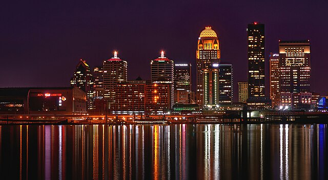
| current | 19:06, 18 October 2023 | | 1,415 × 777 (1.44 MB) | StefenTower | Uploaded a work by Charles Delano of LouisvilleUSACE - Louisville District of the US Army Corp of Engineers from {{Extracted from|File:Louisville,_Kentucky_skyline_at_night_(2021).jpg}} with UploadWizard |
File usage
More than 100 pages use this file. The following list shows the first 100 pages that use this file only. A full list is available.
.jpg)
- Anchorage, Kentucky
- Audubon Park, Kentucky
- Bancroft, Kentucky
- Barbourmeade, Kentucky
- Beechwood Village, Kentucky
- Bellemeade, Kentucky
- Bellewood, Kentucky
- Blue Ridge Manor, Kentucky
- Briarwood, Kentucky
- Broad Fields, St. Matthews, Kentucky
- Broeck Pointe, Kentucky
- Brownsboro Farm, Kentucky
- Brownsboro Village, Kentucky
- Buechel, Louisville
- Cambridge, Kentucky
- Cherrywood Village, St. Matthews, Kentucky
- Clarksville, Indiana
- Coldstream, Kentucky
- Creekside, Kentucky
- Crossgate, Kentucky
- Douglass Hills, Kentucky
- Druid Hills, Kentucky
- Fairdale, Louisville
- Fairmeade, St. Matthews, Kentucky
- Fern Creek, Louisville
- Fincastle, Kentucky
- Forest Hills, Kentucky
- Glenview, Kentucky
- Glenview Hills, Kentucky
- Glenview Manor, Kentucky
- Graymoor-Devondale, Kentucky
- Green Spring, Kentucky
- Heritage Creek, Kentucky
- Hickory Hill, Kentucky
- Highview, Louisville
- Hills and Dales, Kentucky
- Hollow Creek, Kentucky
- Hollyvilla, Kentucky
- Houston Acres, Kentucky
- Hurstbourne, Kentucky
- Hurstbourne Acres, Kentucky
- Indian Hills, Kentucky
- Jeffersontown, Kentucky
- Jeffersonville, Indiana
- KFC
- Keeneland, Lyndon, Kentucky
- Kentucky
- Kentucky Derby
- Kingsley, Kentucky
- Langdon Place, Kentucky
- Lincolnshire, Kentucky
- Louisville, Kentucky
- Lyndon, Kentucky
- Lynnview, Kentucky
- Manor Creek, Kentucky
- Maryhill Estates, Kentucky
- Meadow Vale, Kentucky
- Meadowbrook Farm, Kentucky
- Meadowview Estates, Kentucky
- Middletown, Kentucky
- Mockingbird Valley, Kentucky
- Moorland, Kentucky
- Mount Washington, Kentucky
- Muhammad Ali
- Murray Hill, Kentucky
- New Albany, Indiana
- Newburg, Louisville
- Norbourne Estates, Kentucky
- Northfield, Kentucky
- Norwood, Kentucky
- Okolona, Louisville, Kentucky
- Old Brownsboro Place, Kentucky
- Parkway Village, Kentucky
- Plantation, Kentucky
- Pleasure Ridge Park, Louisville
- Plymouth Village, St. Matthews, Kentucky
- Poplar Hills, Kentucky
- Richlawn, Kentucky
- Riverwood, Kentucky
- Rolling Fields, Kentucky
- Rolling Hills, Kentucky
- Seneca Gardens, Kentucky
- Shepherdsville, Kentucky
- Shively, Kentucky
- Spring Mill, Kentucky
- Spring Valley, Kentucky
- Springlee, St. Matthews, Kentucky
- St. Dennis, Louisville
- St. Matthews, Kentucky
- St. Regis Park, Kentucky
- Strathmoor Manor, Kentucky
- Strathmoor Village, Kentucky
- Sycamore, Kentucky
- Ten Broeck, Kentucky
- Thornhill, Kentucky
- Valley Station, Louisville
- Watterson Park, Kentucky
- Wellington, Kentucky
- West Buechel, Kentucky
- Westwood, Jefferson County, Kentucky
View more links to this file.
Global file usage
The following other wikis use this file:
- Usage on ang.wikipedia.org
- Usage on de.wikipedia.org
- Usage on es.wikipedia.org
- Usage on mn.wikipedia.org
- Usage on www.wikidata.org
.jpg)