
File:Заурова, Владыкавказъ, Джяйряхи, Ларсы, Тукслетъ (1792).jpg

Size of this preview: 600 × 600 pixels. Other resolutions: 240 × 240 pixels | 480 × 480 pixels | 1,013 × 1,013 pixels.
Original file (1,013 × 1,013 pixels, file size: 322 KB, MIME type: image/jpeg)
| This is a file from the Wikimedia Commons. Information from its description page there is shown below. Commons is a freely licensed media file repository. You can help. |
.jpg)
Summary
| Description |
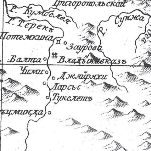
English: Fragment of the map of "Caucasian governorship and the Lands of the Don Cossacks on the map of 1792". |
| Date | |
| Source | Карта Кавказского наместничества и Земли Войска Донского из атласа Горного Училища (in ru). |
| Author | Вильбрехт, А. М. |
Licensing
|
This work is in the public domain in its country of origin and other countries and areas where the copyright term is the author's life plus 70 years or fewer. This work is in the public domain in the United States because it was published (or registered with the U.S. Copyright Office) before January 1, 1929. | |
| This file has been identified as being free of known restrictions under copyright law, including all related and neighboring rights. | |
File history
Click on a date/time to view the file as it appeared at that time.
| Date/Time | Thumbnail | Dimensions | User | Comment | |
|---|---|---|---|---|---|
| current | 12:30, 30 May 2023 | | 1,013 × 1,013 (322 KB) | WikiEditor1234567123 | Uploaded a work by Вильбрехт, А. М. from {{Cite web|url=http://www.etomesto.ru/karta572/|title=Карта Кавказского наместничества и Земли Войска Донского из атласа Горного Училища|language=ru}} with UploadWizard |
File usage
The following pages on the English Wikipedia use this file (pages on other projects are not listed):
.jpg)