
File:Bill Gut.jpg
Size of this preview: 800 × 600 pixels. Other resolutions: 320 × 240 pixels | 640 × 480 pixels | 1,024 × 768 pixels.
Original file (1,024 × 768 pixels, file size: 176 KB, MIME type: image/jpeg)
| This is a file from the Wikimedia Commons. Information from its description page there is shown below. Commons is a freely licensed media file repository. You can help. |
Summary
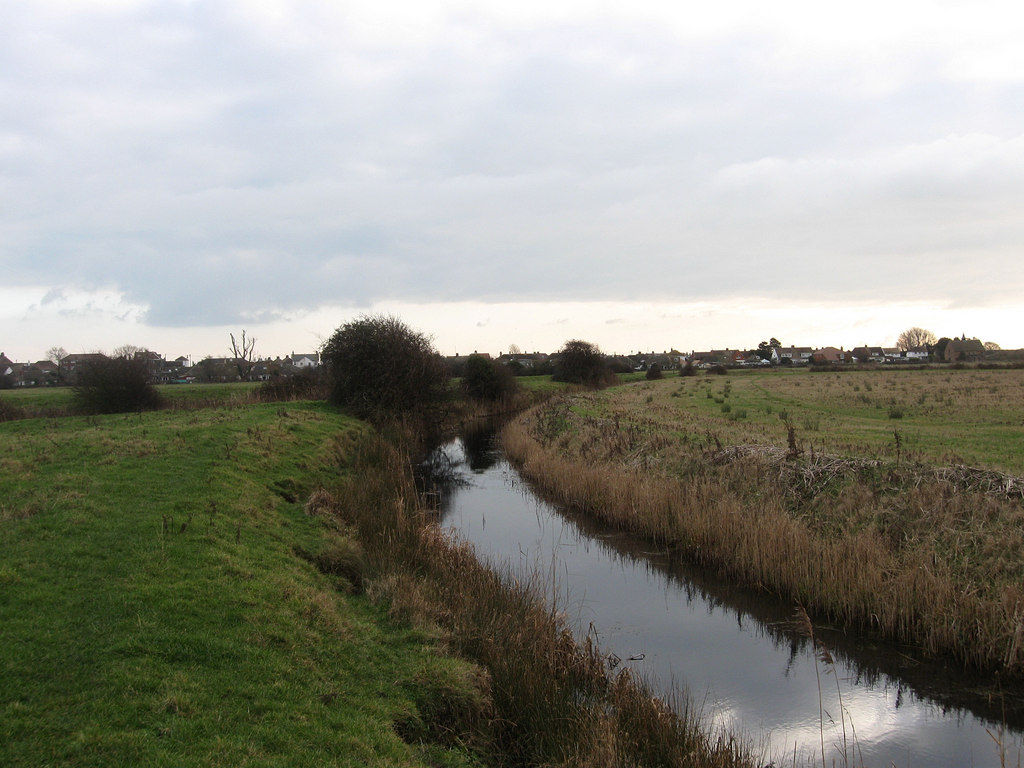
| Description | Minor drain that links Salt Haven and Langney Sewer. The settlement of Pevensey Bay can be seen in the background. |
| Date | |
| Source | geograph.org.uk |
| Author | Simon Carey |
| Attribution (required by the license) | Simon Carey / Bill Gut / |
| Camera location | | View this and other nearby images on: OpenStreetMap |
|---|
_heading:157.00&language=en)
| Object location | | View this and other nearby images on: OpenStreetMap |
|---|
_heading:157.00&language=en)
Licensing

|
This image was taken from the Geograph project collection. See this photograph's page on the Geograph website for the photographer's contact details. The copyright on this image is owned by Simon Carey and is licensed for reuse under the Creative Commons Attribution-ShareAlike 2.0 license.
|
This file is licensed under the Creative Commons Attribution-Share Alike 2.0 Generic license.
Attribution: Simon Carey
- You are free:
- to share – to copy, distribute and transmit the work
- to remix – to adapt the work
- Under the following conditions:
- attribution – You must give appropriate credit, provide a link to the license, and indicate if changes were made. You may do so in any reasonable manner, but not in any way that suggests the licensor endorses you or your use.
- share alike – If you remix, transform, or build upon the material, you must distribute your contributions under the same or compatible license as the original.
File history
Click on a date/time to view the file as it appeared at that time.
| Date/Time | Thumbnail | Dimensions | User | Comment | |
|---|---|---|---|---|---|
| current | 14:17, 11 October 2022 | | 1,024 × 768 (176 KB) | LunaEatsTuna | {{Information |Description=Minor drain that links Salt Haven and Langney Sewer. The settlement of Pevensey Bay can be seen in the background. |Source=[https://www.geograph.org.uk/photo/1680647 geograph.org.uk |Date=24 January 2010 |][https://www.geograph.org.uk/profile/1833 Simon Carey] |Permission= |other_versions= }} {{Cc-by-sa-2.0}} Category:Pevensey Category:Pevensey Levels |
File usage
The following pages on the English Wikipedia use this file (pages on other projects are not listed):