
File:Brazil Sao Paulo location map 2.svg

Size of this PNG preview of this SVG file: 800 × 540 pixels. Other resolutions: 320 × 216 pixels | 640 × 432 pixels | 1,024 × 692 pixels | 1,280 × 865 pixels | 2,560 × 1,729 pixels | 1,020 × 689 pixels.
Original file (SVG file, nominally 1,020 × 689 pixels, file size: 922 KB)
| This is a file from the Wikimedia Commons. Information from its description page there is shown below. Commons is a freely licensed media file repository. You can help. |
Summary
| Description |
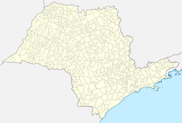
English: Location map of São Paulo state.
Equirectangular projection, N/S stretching 108 %. Geographic limits of the map:
|
| Date | |
| Source | Own work |
| Author | Milenioscuro |
Licensing
I, the copyright holder of this work, hereby publish it under the following license:
This file is licensed under the Creative Commons Attribution-Share Alike 4.0 International license.
- You are free:
- to share – to copy, distribute and transmit the work
- to remix – to adapt the work
- Under the following conditions:
- attribution – You must give appropriate credit, provide a link to the license, and indicate if changes were made. You may do so in any reasonable manner, but not in any way that suggests the licensor endorses you or your use.
- share alike – If you remix, transform, or build upon the material, you must distribute your contributions under the same or compatible license as the original.
File history
Click on a date/time to view the file as it appeared at that time.
| Date/Time | Thumbnail | Dimensions | User | Comment | |
|---|---|---|---|---|---|
| current | 18:19, 18 November 2022 | | 1,020 × 689 (922 KB) | GrandEscogriffe | more correct north-south stretching |
| 18:13, 26 August 2015 |  | 1,020 × 638 (1.27 MB) | Milenioscuro | User created page with UploadWizard |
File usage
The following pages on the English Wikipedia use this file (pages on other projects are not listed):
Global file usage
The following other wikis use this file:
- Usage on de.wikipedia.org
- Americana (São Paulo)
- Ribeirão Preto
- Torre TV Bandeirantes
- Itararé
- Jarinu
- São Bernardo do Campo
- Estádio do Morumbi
- Ourinhos
- Osasco
- Cunha (São Paulo)
- Edifício Andraus
- Flughafen São Paulo–Guarulhos
- Embu das Artes
- Aparecida (São Paulo)
- Flughafen Viracopos
- Santo André (São Paulo)
- Diadema (Brasilien)
- Carapicuíba
- Jundiaí
- Presidente Prudente
- Sumaré
- Bananal (São Paulo)
- Flughafen São Paulo–Congonhas
- Caraguatatuba
- Brodowski
- Estádio Luís Augusto de Oliveira
- Ilhabela
- Wikipedia:Kartenwerkstatt/Positionskarten/Südamerika
- Itapetininga
- Estádio Alfredo Schürig
- Cubatão
- São Sebastião (São Paulo)
- Company Business Towers
- Presidente Epitácio
- Mirante do Vale
- Ilha de Alcatrazes
- Picinguaba (Ort)
- Águas de Lindóia
- Estádio do Pacaembu
- Estádio Urbano Caldeira
- Votorantim
- Franco da Rocha
- Itapecerica da Serra
- Itapevi
- Tietê
- Estádio Municipal Eduardo José Farah
- Benutzer:Plenz/Demo/Mairinque
- Estádio Palestra Itália
- Guarapiranga-Stausee
- Serra da Cantareira
View more global usage of this file.