
File:Caldwell's northern houses - geograph.org.uk - 1627252.jpg
No higher resolution available.
Caldwell's_northern_houses_-_geograph.org.uk_-_1627252.jpg (640 × 400 pixels, file size: 106 KB, MIME type: image/jpeg)
| This is a file from the Wikimedia Commons. Information from its description page there is shown below. Commons is a freely licensed media file repository. You can help. |
Summary
| Description |
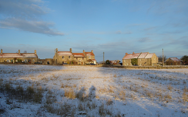
English: Caldwell's northern houses Caldwell is somewhat spread out, with fields intertwined with village and new housing along roads both northeast and south-southeast of the original village centre. This is the smaller, more northerly of two clusters of relatively recent pan-tile roofed houses, seen across the biggest of the village fields, from the car park of the Brownlow Arms. |
| Date | |
| Source | From geograph.org.uk |
| Author | Andy Waddington |
| Attribution (required by the license) | Andy Waddington / Caldwell's northern houses / |
| Camera location | | View this and other nearby images on: OpenStreetMap |
|---|
_heading:45.00&language=en)
| Object location | | View this and other nearby images on: OpenStreetMap |
|---|
_heading:45.00&language=en)
Licensing

|
This image was taken from the Geograph project collection. See this photograph's page on the Geograph website for the photographer's contact details. The copyright on this image is owned by Andy Waddington and is licensed for reuse under the Creative Commons Attribution-ShareAlike 2.0 license.
|
This file is licensed under the Creative Commons Attribution-Share Alike 2.0 Generic license.
Attribution: Andy Waddington
- You are free:
- to share – to copy, distribute and transmit the work
- to remix – to adapt the work
- Under the following conditions:
- attribution – You must give appropriate credit, provide a link to the license, and indicate if changes were made. You may do so in any reasonable manner, but not in any way that suggests the licensor endorses you or your use.
- share alike – If you remix, transform, or build upon the material, you must distribute your contributions under the same or compatible license as the original.

|
The categories of this image need checking. You can do so here.
|
File history
Click on a date/time to view the file as it appeared at that time.
| Date/Time | Thumbnail | Dimensions | User | Comment | |
|---|---|---|---|---|---|
| current | 12:33, 4 March 2011 | | 640 × 400 (106 KB) | GeographBot | == {{int:filedesc}} == {{Information |description={{en|1=Caldwell's northern houses Caldwell is somewhat spread out, with fields intertwined with village and new housing along roads both northeast and south-southeast of the original village centre. This i |
File usage
The following pages on the English Wikipedia use this file (pages on other projects are not listed):