
File:California county map.svg

Size of this PNG preview of this SVG file: 358 × 599 pixels. Other resolutions: 143 × 240 pixels | 287 × 480 pixels | 459 × 768 pixels | 612 × 1,024 pixels | 1,223 × 2,048 pixels | 512 × 857 pixels.
Original file (SVG file, nominally 512 × 857 pixels, file size: 706 KB)
| This is a file from the Wikimedia Commons. Information from its description page there is shown below. Commons is a freely licensed media file repository. You can help. |
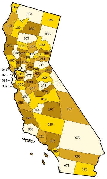
Vector map of California showing state and county borders. Derived from a US Census publication. Numbered using FIPS subcode (see en:List of counties in California.)
This image or file is a work of a United States Census Bureau employee, taken or made as part of that person's official duties. As a work of the U.S. federal government, the image is in the public domain.
|
 |
derivative works
Derivative works of this file: California counties outline map.svg
File history
Click on a date/time to view the file as it appeared at that time.
| Date/Time | Thumbnail | Dimensions | User | Comment | |
|---|---|---|---|---|---|
| current | 21:01, 21 September 2006 | | 512 × 857 (706 KB) | Tintazul | County map corrected and coloured, with FIPS subcode |
| 19:09, 2 January 2006 |  | 94 × 160 (706 KB) | Fastfission~commonswiki | Vector map of California showing state and county borders. Derived from a US Census publication. {{PD-USGov-DOC-Census}} Category:Maps of California |
File usage
No pages on the English Wikipedia use this file (pages on other projects are not listed).
Global file usage
The following other wikis use this file:
- Usage on fr.wikipedia.org