
File:Caribmap.png
No higher resolution available.
Caribmap.png (654 × 483 pixels, file size: 16 KB, MIME type: image/png)
| This is a file from the Wikimedia Commons. Information from its description page there is shown below. Commons is a freely licensed media file repository. You can help. |
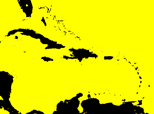
Outline map of Caribbean for use with Caribbean-geo-stub. Uploaded from engwiki.

|
Permission is granted to copy, distribute and/or modify this document under the terms of the GNU Free Documentation License, Version 1.2 or any later version published by the Free Software Foundation; with no Invariant Sections, no Front-Cover Texts, and no Back-Cover Texts. A copy of the license is included in the section entitled GNU Free Documentation License. |
| This file is licensed under the Creative Commons Attribution-Share Alike 3.0 Unported license. | ||
| ||
| This licensing tag was added to this file as part of the GFDL licensing update. |
History on English Wikipedia
- (Delete all revisions of this file) (cur) 23:06, 15 April 2006 . . Hoshie (Talk | contribs | block) . . 654×483 (16,301 bytes) (I have corrected the map and added the US territory of Navassa Island and Lake Okeechobee in central Florida. My mod is under the original license. The file has been re-uploaded.)
- (del) (rev) 09:04, 15 April 2006 . . Hoshie (Talk | contribs | block) . . 654×483 (16,301 bytes) (I have corrected the map and added the US territory of Navassa Island and Lake Okeechobee in central Florida. My mod is under the original license.)
- (del) (rev) 08:20, 1 February 2005 . . Grutness (Talk | contribs | block) . . 654×483 (16,288 bytes) (Outline map of Caribbean for use with Caribbean-geo-stub {{gfdl} })
File history
Click on a date/time to view the file as it appeared at that time.
| Date/Time | Thumbnail | Dimensions | User | Comment | |
|---|---|---|---|---|---|
| current | 22:56, 1 September 2006 | | 654 × 483 (16 KB) | Mr Bullitt~commonswiki | Outline map of Caribbean for use with Caribbean-geo-stub. Uploaded from engwiki. {{GFDL}} Category:Maps of the Caribbean |
File usage
The following pages on the English Wikipedia use this file (pages on other projects are not listed):
Global file usage
The following other wikis use this file:
- Usage on he.wikipedia.org
- Usage on mn.wikipedia.org
- Usage on sl.wikipedia.org
- Usage on vi.wikipedia.org
- Usage on www.wikidata.org