
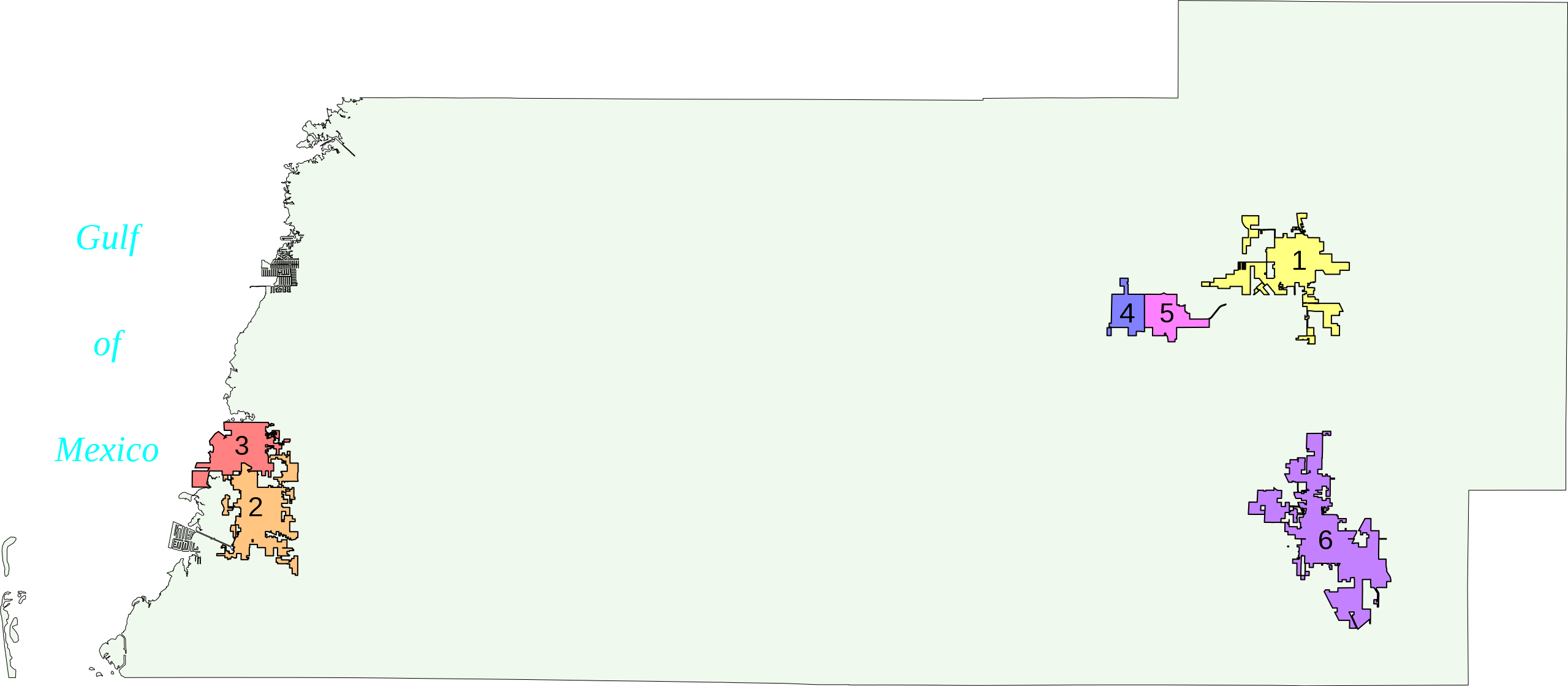
File:Cities of Pasco County.svg

Size of this PNG preview of this SVG file: 800 × 350 pixels. Other resolutions: 320 × 140 pixels | 640 × 280 pixels | 1,024 × 448 pixels | 1,280 × 560 pixels | 2,560 × 1,119 pixels | 2,559 × 1,119 pixels.
Original file (SVG file, nominally 2,559 × 1,119 pixels, file size: 624 KB)
| This is a file from the Wikimedia Commons. Information from its description page there is shown below. Commons is a freely licensed media file repository. You can help. |
Created using coordinate data from US Census Bureau, modified using GIS Data from city website, converted using ogis2svg.exe and rendered in Inkscape

|
Permission is granted to copy, distribute and/or modify this document under the terms of the GNU Free Documentation License, Version 1.2 or any later version published by the Free Software Foundation; with no Invariant Sections, no Front-Cover Texts, and no Back-Cover Texts. A copy of the license is included in the section entitled GNU Free Documentation License. |
| This file is licensed under the Creative Commons Attribution-Share Alike 3.0 Unported license. | ||
| ||
| This licensing tag was added to this file as part of the GFDL licensing update. |
File history
Click on a date/time to view the file as it appeared at that time.
| Date/Time | Thumbnail | Dimensions | User | Comment | |
|---|---|---|---|---|---|
| current | 13:47, 12 March 2007 | | 2,559 × 1,119 (624 KB) | Bastique | - Sodipodi |
| 13:44, 12 March 2007 |  | 2,559 × 1,119 (626 KB) | Bastique | Fixed county boundaries | |
| 13:38, 12 March 2007 |  | 2,559 × 1,119 (626 KB) | Bastique | Created using coordinate data from US Census Bureau, modified using GIS Data from city website, converted using ogis2svg.exe and rendered in Inkscape {{GFDL}} [[Category:Maps of Pasco County, Florida] |
File usage
The following pages on the English Wikipedia use this file (pages on other projects are not listed):
Global file usage
The following other wikis use this file:
- Usage on it.wikipedia.org
- Usage on ja.wikipedia.org
- Usage on pt.wikipedia.org