
File:Cypress Island Map.svg

Size of this PNG preview of this SVG file: 393 × 401 pixels. Other resolutions: 235 × 240 pixels | 470 × 480 pixels | 753 × 768 pixels | 1,004 × 1,024 pixels | 2,007 × 2,048 pixels.
Original file (SVG file, nominally 393 × 401 pixels, file size: 22 KB)
| This is a file from the Wikimedia Commons. Information from its description page there is shown below. Commons is a freely licensed media file repository. You can help. |
Summary
| Description |
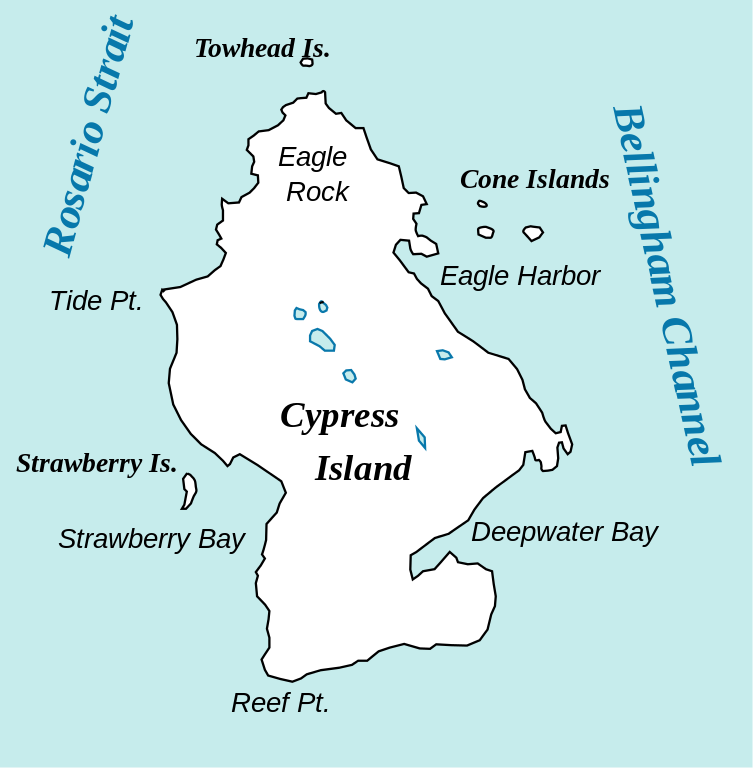
English: Simple map of Cypress Island. |
| Date | |
| Source | Own work |
| Author | Labatitude |
Island outline traced from USGS Landsat photo. Everything else done in Inkscape by me.
Licensing
I, the copyright holder of this work, hereby publish it under the following licenses:
This file is licensed under the Creative Commons Attribution-Share Alike 3.0 Unported license.
- You are free:
- to share – to copy, distribute and transmit the work
- to remix – to adapt the work
- Under the following conditions:
- attribution – You must give appropriate credit, provide a link to the license, and indicate if changes were made. You may do so in any reasonable manner, but not in any way that suggests the licensor endorses you or your use.
- share alike – If you remix, transform, or build upon the material, you must distribute your contributions under the same or compatible license as the original.

|
Permission is granted to copy, distribute and/or modify this document under the terms of the GNU Free Documentation License, Version 1.2 or any later version published by the Free Software Foundation; with no Invariant Sections, no Front-Cover Texts, and no Back-Cover Texts. A copy of the license is included in the section entitled GNU Free Documentation License. |
You may select the license of your choice.
File history
Click on a date/time to view the file as it appeared at that time.
| Date/Time | Thumbnail | Dimensions | User | Comment | |
|---|---|---|---|---|---|
| current | 21:09, 10 June 2010 | | 393 × 401 (22 KB) | Labatitude | Removed all the ridiculous whitespace from around the image. |
| 21:00, 10 June 2010 |  | 744 × 1,052 (22 KB) | Labatitude | Changed scale (pointless with a vector drawing, I know, but I'm hoping Wikimedia will produce different sized pngs) | |
| 20:57, 10 June 2010 |  | 744 × 1,052 (21 KB) | Labatitude | {{Information |Description={{en|1=Simple map of Cypress Island.}} |Source={{own}} |Author=Labatitude |Date=2010-06-10 |Permission= |other_versions= }} Island outline traced from USGS Landsat photo. Everything else done in Inkscape by m |
File usage
The following pages on the English Wikipedia use this file (pages on other projects are not listed):
Global file usage
The following other wikis use this file:
- Usage on cs.wikipedia.org