
File:England Regions within UK.svg

Size of this PNG preview of this SVG file: 421 × 599 pixels. Other resolutions: 168 × 240 pixels | 337 × 480 pixels | 539 × 768 pixels | 719 × 1,024 pixels | 1,439 × 2,048 pixels | 690 × 982 pixels.
Original file (SVG file, nominally 690 × 982 pixels, file size: 187 KB)
| This is a file from the Wikimedia Commons. Information from its description page there is shown below. Commons is a freely licensed media file repository. You can help. |
Summary
| Description |
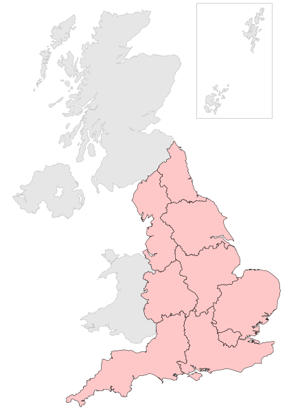
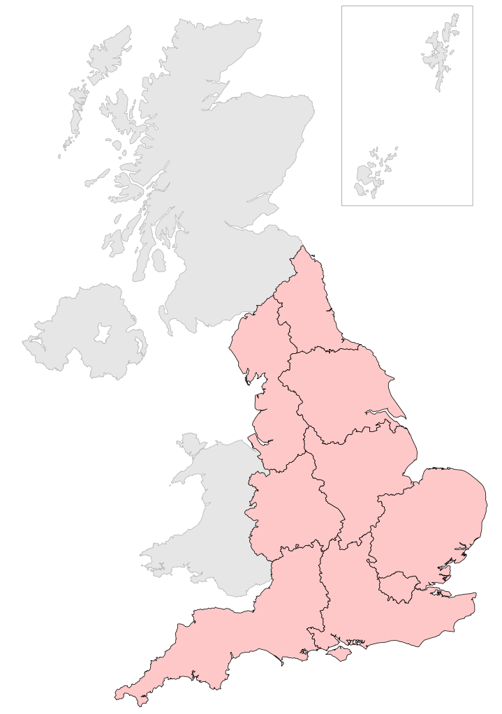
English: Map showing the regions of England within the United Kingdom |
| Date | |
| Source | Own work by uploader, based on File:2005UKElectionMap.svg |
| Author | Ch1902 |
| Other versions |
Derivative works of this file: |
Licensing
| I, the copyright holder of this work, release this work into the public domain. This applies worldwide. In some countries this may not be legally possible; if so: I grant anyone the right to use this work for any purpose, without any conditions, unless such conditions are required by law. |
File history
Click on a date/time to view the file as it appeared at that time.
| Date/Time | Thumbnail | Dimensions | User | Comment | |
|---|---|---|---|---|---|
| current | 13:33, 23 July 2018 | | 690 × 982 (187 KB) | Ch1902 | Reverted to version as of 17:36, 30 May 2009 (UTC) |
| 10:45, 22 July 2018 |  | 690 × 982 (422 KB) | Peppa Pig the Second | Recolored regions of England; changed the grayed-out areas' colors to a better shade of gray | |
| 17:36, 30 May 2009 |  | 690 × 982 (187 KB) | Ch1902 | {{Information |Description={{en|1=Map showing the regions of England within the United Kingdom}} |Source=Own work by uploader, based on File:2005UKElectionMap.svg |Date=2009-05-30 |Author=Ch1902 |Permission= |other_versions= }} [[Cate |
File usage
No pages on the English Wikipedia use this file (pages on other projects are not listed).