
File:Fairview tunnel.jpg
Size of this preview: 750 × 600 pixels. Other resolutions: 300 × 240 pixels | 600 × 480 pixels | 954 × 763 pixels.
Original file (954 × 763 pixels, file size: 190 KB, MIME type: image/jpeg)
| This is a file from the Wikimedia Commons. Information from its description page there is shown below. Commons is a freely licensed media file repository. You can help. |
Summary
| Description |
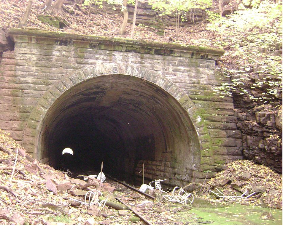
English: Phoenixville Tunnel |
| Date | |
| Source | Own work |
| Author | T h williams |
| Camera location | | View this and other nearby images on: OpenStreetMap |
|---|
Licensing
| I, the copyright holder of this work, release this work into the public domain. This applies worldwide. In some countries this may not be legally possible; if so: I grant anyone the right to use this work for any purpose, without any conditions, unless such conditions are required by law. |
File history
Click on a date/time to view the file as it appeared at that time.
| Date/Time | Thumbnail | Dimensions | User | Comment | |
|---|---|---|---|---|---|
| current | 20:24, 15 November 2008 | | 954 × 763 (190 KB) | T h williams | {{Information |Description={{en|1=Phoenixville Tunnel}} |Source=Own work by uploader |Author=T h williams |Date=2008-10-29 |Permission= |other_versions= }} GPS coordinates: 40.1440008, -75.52642 <!--{{ImageUpload|full}}--> |
File usage
The following pages on the English Wikipedia use this file (pages on other projects are not listed):
Global file usage
The following other wikis use this file:
- Usage on www.wikidata.org