
File:Fen Drayton nature reserve - geograph.org.uk - 278642.jpg
No higher resolution available.
Fen_Drayton_nature_reserve_-_geograph.org.uk_-_278642.jpg (640 × 431 pixels, file size: 105 KB, MIME type: image/jpeg)
| This is a file from the Wikimedia Commons. Information from its description page there is shown below. Commons is a freely licensed media file repository. You can help. |
Summary
| Description |
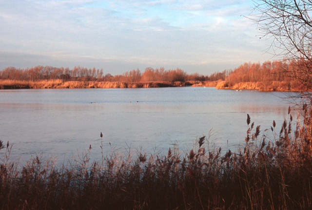
English: Fen Drayton nature reserve Previously a gravel and sand extraction site, these pits have been flooded into lakes to provide nationally important wetlands for overwintering waterbirds such as the Gadwall, Wigeon, Pintail and Coot. Smew and Bittern are also regularly present in winter. In summer many types of dragonfly are seen, including Hairy Dragonfly and Scarce Chaser. |
| Date | |
| Source | From geograph.org.uk |
| Author | Sue Jones |
| Attribution (required by the license) | Sue Jones / Fen Drayton nature reserve / |
| Camera location | | View this and other nearby images on: OpenStreetMap |
|---|
_heading:315.00&language=en)
| Object location | | View this and other nearby images on: OpenStreetMap |
|---|
_heading:315.00&language=en)
Licensing

|
This image was taken from the Geograph project collection. See this photograph's page on the Geograph website for the photographer's contact details. The copyright on this image is owned by Sue Jones and is licensed for reuse under the Creative Commons Attribution-ShareAlike 2.0 license.
|
This file is licensed under the Creative Commons Attribution-Share Alike 2.0 Generic license.
Attribution: Sue Jones
- You are free:
- to share – to copy, distribute and transmit the work
- to remix – to adapt the work
- Under the following conditions:
- attribution – You must give appropriate credit, provide a link to the license, and indicate if changes were made. You may do so in any reasonable manner, but not in any way that suggests the licensor endorses you or your use.
- share alike – If you remix, transform, or build upon the material, you must distribute your contributions under the same or compatible license as the original.
File history
Click on a date/time to view the file as it appeared at that time.
| Date/Time | Thumbnail | Dimensions | User | Comment | |
|---|---|---|---|---|---|
| current | 19:33, 12 December 2010 | | 640 × 431 (105 KB) | GeographBot | == {{int:filedesc}} == {{Information |description={{en|1=Fen Drayton nature reserve Previously a gravel and sand extraction site, these pits have been flooded into lakes to provide nationally important wetlands for overwintering waterbirds such as the Gad |
File usage
The following pages on the English Wikipedia use this file (pages on other projects are not listed):