
File:Field North Laiths For Infobox.jpg
No higher resolution available.
Field_North_Laiths_For_Infobox.jpg (640 × 480 pixels, file size: 246 KB, MIME type: image/jpeg)
| This is a file from the Wikimedia Commons. Information from its description page there is shown below. Commons is a freely licensed media file repository. You can help. |
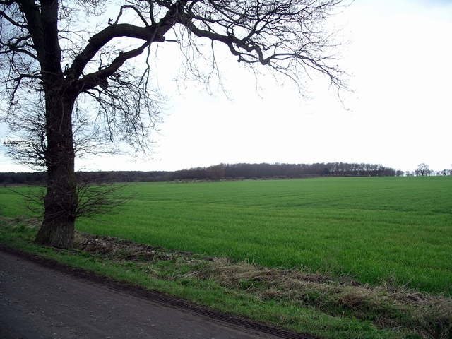
| Description |
English: Tree and field at North Laithes Farm, Rufford, Nottinghamshire, England. Looking from the Robin Hood Way long distance footpath towards a small area of woodland, not named on the map. The Robin Hood Way is one of two long distance paths in Nottinghamshire, the other being the Trent Valley Way. This has been cited as a possible location for the lost village of Cratley. |
| Date | |
| Source | This image at geograph.org.uk |
| Author | Lynne Kirton |
| Camera location | | View this and other nearby images on: OpenStreetMap |
|---|

|
This image was taken from the Geograph project collection. See this photograph's page on the Geograph website for the photographer's contact details. The copyright on this image is owned by Lynne Kirton and is licensed for reuse under the Creative Commons Attribution-ShareAlike 2.0 license.
|
This file is licensed under the Creative Commons Attribution-Share Alike 2.0 Generic license.
Attribution: Lynne Kirton
- You are free:
- to share – to copy, distribute and transmit the work
- to remix – to adapt the work
- Under the following conditions:
- attribution – You must give appropriate credit, provide a link to the license, and indicate if changes were made. You may do so in any reasonable manner, but not in any way that suggests the licensor endorses you or your use.
- share alike – If you remix, transform, or build upon the material, you must distribute your contributions under the same or compatible license as the original.
File history
Click on a date/time to view the file as it appeared at that time.
| Date/Time | Thumbnail | Dimensions | User | Comment | |
|---|---|---|---|---|---|
| current | 00:12, 31 March 2010 | | 640 × 480 (246 KB) | RHaworth | replace Ning-ning thumbnail |
| 15:59, 12 May 2008 |  | 240 × 180 (35 KB) | Ning-ning | {{Information |Description=Tree & field |Source=From [http://www.geograph.org.uk/photo/347547 geograph.org.uk] |Date=2007-02-25T21:56:52+00:00 |Author=[http://www.geograph.org.uk/profile/811 Lynne Kirton] |Permission=Creative Commons Attribution Share-ali |
File usage
The following pages on the English Wikipedia use this file (pages on other projects are not listed):
Global file usage
The following other wikis use this file:
- Usage on www.wikidata.org