
File:France location map-Provinces 1789.svg

Size of this PNG preview of this SVG file: 624 × 600 pixels. Other resolutions: 250 × 240 pixels | 499 × 480 pixels | 799 × 768 pixels | 1,066 × 1,024 pixels | 2,131 × 2,048 pixels | 2,000 × 1,922 pixels.
Original file (SVG file, nominally 2,000 × 1,922 pixels, file size: 557 KB)
| This is a file from the Wikimedia Commons. Information from its description page there is shown below. Commons is a freely licensed media file repository. You can help. |
Summary
| Description |
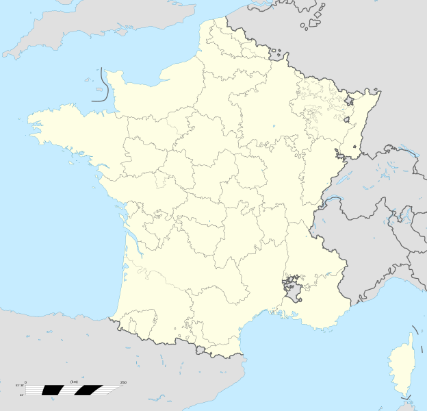
English: Map of provinces of France in 1789.
Español: Mapa de las provincias de Francia en 1789
Français : Carte des provinces françaises en 1790. |
| Date | |
| Source |
Own work |
| Author | Milenioscuro |
| Other versions |
[]
|


Licensing
I, the copyright holder of this work, hereby publish it under the following license:
This file is licensed under the Creative Commons Attribution-Share Alike 4.0 International license.
- You are free:
- to share – to copy, distribute and transmit the work
- to remix – to adapt the work
- Under the following conditions:
- attribution – You must give appropriate credit, provide a link to the license, and indicate if changes were made. You may do so in any reasonable manner, but not in any way that suggests the licensor endorses you or your use.
- share alike – If you remix, transform, or build upon the material, you must distribute your contributions under the same or compatible license as the original.
File history
Click on a date/time to view the file as it appeared at that time.
| Date/Time | Thumbnail | Dimensions | User | Comment | |
|---|---|---|---|---|---|
| current | 06:43, 27 November 2019 | | 2,000 × 1,922 (557 KB) | Milenioscuro | User created page with UploadWizard |
File usage
No pages on the English Wikipedia use this file (pages on other projects are not listed).
Global file usage
The following other wikis use this file:
- Usage on fr.wikipedia.org
- Discussion:Territoires du royaume de France
- Généralité (France)
- Diocèse de Dol
- Parlement de Paris
- Diocèse de Saint-Malo
- Pays d'états
- Généralité d'Alençon
- Généralité d'Amiens
- Généralité d'Auch
- Généralité de Bordeaux
- Généralité de Bourges
- Généralité de Caen
- Généralité de Châlons
- Généralité de Grenoble
- Généralité de Limoges
- Généralité de Lyon
- Généralité de Montauban
- Généralité de Moulins
- Généralité d'Orléans
- Généralité de Paris
- Généralité de Poitiers
- Généralité de Riom
- Généralité de La Rochelle
- Généralité de Rouen
- Généralité de Soissons
- Généralité de Tours
- Généralité de Bourgogne
- Généralité de Toulouse
- Généralité de Montpellier
- Généralité de Provence
- Généralité de Metz
- Généralité de Besançon
- Généralité de Lille
- Généralité de Nancy
- Généralité de Valenciennes
- Généralité de Perpignan
- Généralité de Strasbourg
- Généralité de Corse
- Pays d'élection
- Archidiocèse d'Arles
- Gouvernements généraux et particuliers
- Royaume de France
- Diocèse de Coutances
- Discussion Projet:Catholicisme
- Parlement de Bretagne
- Intendance de Bretagne
- Diocèse de Marseille
- Parlement de Normandie
- Parlement de Toulouse
- Diocèse de Bayonne
View more global usage of this file.