
File:Ghazipur divisons map.jpeg

Size of this preview: 706 × 599 pixels. Other resolutions: 283 × 240 pixels | 565 × 480 pixels | 848 × 720 pixels.
Original file (848 × 720 pixels, file size: 219 KB, MIME type: image/jpeg)
Summary[edit]
| Description |
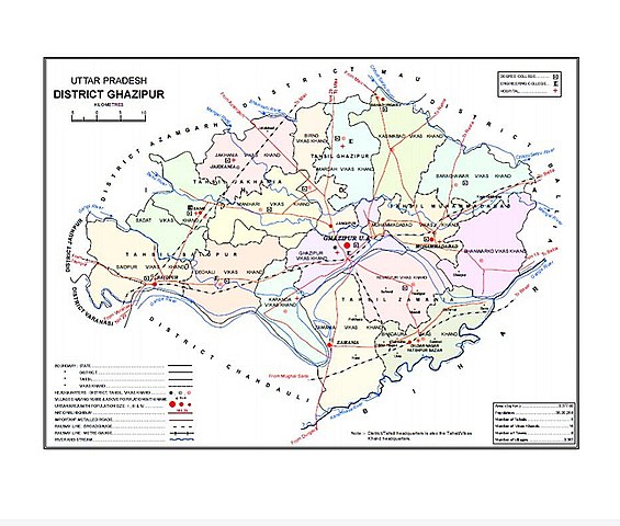
English: Image of a map showing divisions and development blocks in Ghazipur District |
|---|---|
| Source |
Own work |
| Date |
2021/18/3 2:47 |
| Author | |
| Permission (Reusing this file) |
See below.
|
License[edit]
I, the copyright holder of this work, hereby publish it under the following license:
| This work is licensed under the Creative Commons Attribution-ShareAlike 3.0 License. |
File history
Click on a date/time to view the file as it appeared at that time.
| Date/Time | Thumbnail | Dimensions | User | Comment | |
|---|---|---|---|---|---|
| current | 21:17, 17 March 2021 | | 848 × 720 (219 KB) | The King 70861 (talk | contribs) | {{Information |description={{en|1=Image of a map showing devisions and development blocks in Ghazipur District}} |date=2021/18/3 2:47 |source={{own}} |author=User:The King 70861 |permission= |other_versions= |other_fields= }} |
You cannot overwrite this file.
File usage
The following pages on the English Wikipedia use this file (pages on other projects are not listed):