
File:Granada-loc.svg

Size of this PNG preview of this SVG file: 512 × 452 pixels. Other resolutions: 272 × 240 pixels | 544 × 480 pixels | 870 × 768 pixels | 1,160 × 1,024 pixels | 2,320 × 2,048 pixels.
Original file (SVG file, nominally 512 × 452 pixels, file size: 490 KB)
| This is a file from the Wikimedia Commons. Information from its description page there is shown below. Commons is a freely licensed media file repository. You can help. |
Summary
| Description |
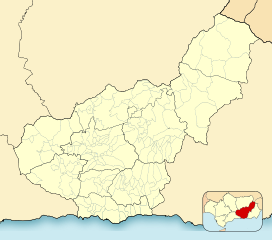
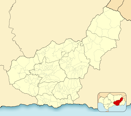
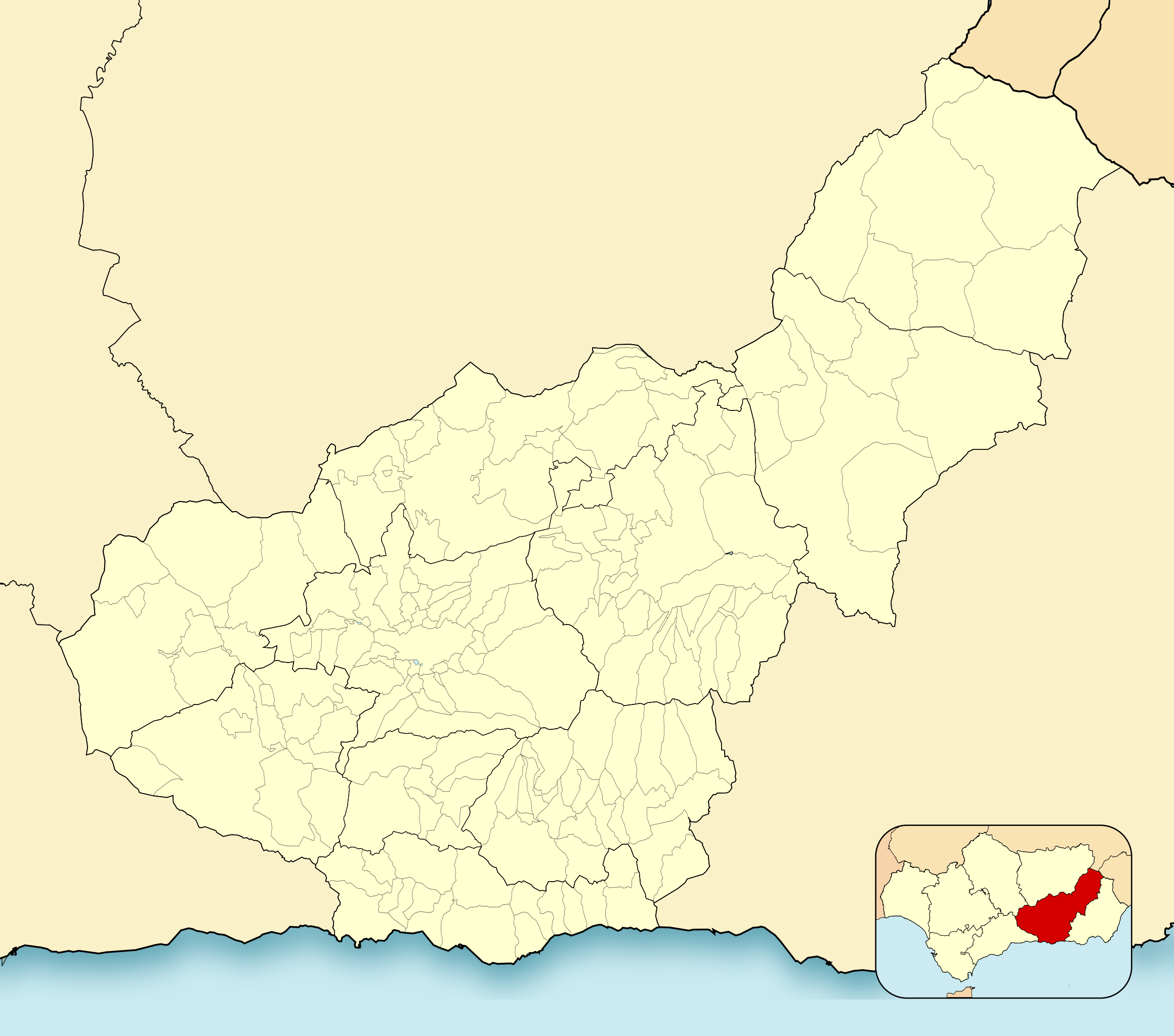
English: Location map of Province of Granada
Equirectangular projection, N/S stretching 130 %. Geographic limits of the map:
Español: Mapa de localización de la Provincia de Granada
Proyección equirrectangular, N/S estirada 130 %. Límites geográficos del mapa:
|
|
| Date | ||
| Source | Own work based on: EspañaLoc.svg by HansenBCN | |
| Author | Miguillen | |
| SVG development | This locator map was created with Inkscape.
|
Licensing
Miguillen, the copyright holder of this work, hereby publishes it under the following license:
This file is licensed under the Creative Commons Attribution-Share Alike 3.0 Unported license.
Attribution: Miguillen
- You are free:
- to share – to copy, distribute and transmit the work
- to remix – to adapt the work
- Under the following conditions:
- attribution – You must give appropriate credit, provide a link to the license, and indicate if changes were made. You may do so in any reasonable manner, but not in any way that suggests the licensor endorses you or your use.
- share alike – If you remix, transform, or build upon the material, you must distribute your contributions under the same or compatible license as the original.
File history
Click on a date/time to view the file as it appeared at that time.
| Date/Time | Thumbnail | Dimensions | User | Comment | |
|---|---|---|---|---|---|
| current | 20:52, 2 January 2023 | | 512 × 452 (490 KB) | Lopezsuarez | Reverted to version as of 14:26, 6 April 2022 (UTC) |
| 20:51, 2 January 2023 |  | 512 × 452 (490 KB) | Lopezsuarez | Reverted to version as of 16:02, 9 December 2010 (UTC) | |
| 14:26, 6 April 2022 |  | 512 × 452 (490 KB) | Lopezsuarez | Reverted to version as of 16:04, 9 December 2010 (UTC) | |
| 11:38, 4 April 2022 |  | 512 × 452 (1.55 MB) | NACLE | quito el marco | |
| 11:35, 4 April 2022 |  | 512 × 452 (1.57 MB) | NACLE | añado nuevos municipios | |
| 16:04, 9 December 2010 |  | 512 × 452 (490 KB) | Miguillen | defecto | |
| 16:02, 9 December 2010 |  | 512 × 452 (490 KB) | Miguillen | colores y mosca según convención | |
| 15:27, 14 August 2010 |  | 512 × 452 (390 KB) | Miguillen | marco | |
| 10:03, 20 May 2010 |  | 512 × 452 (356 KB) | Miguillen | efecto trazo | |
| 10:21, 19 May 2010 |  | 512 × 452 (354 KB) | Miguillen | == {{int:filedesc}} == {{Information |Description={{en|Location map of Province of Granada}} Equirectangular projection, N/S stretching 130 %. Geographic limits of the map: * N: ° N * S: ° N * W: ° O * E: ° O {{es|Mapa |
File usage
The following pages on the English Wikipedia use this file (pages on other projects are not listed):
- Albuñán
- Alhama de Granada
- Battle of Moclín (1280)
- Benalúa de las Villas
- Bubión
- Castril
- Fornes, Granada
- Galera, Granada
- Guadix
- Jabalcón
- Játar
- La Zubia
- Las Gabias
- Loja, Granada
- Motril
- Salobreña
- Santa Fe, Granada
- Sexi (Phoenician colony)
- Torrenueva Costa
- Veleta (Sierra Nevada)
- Órgiva
- Module:Location map/data/Spain Province of Granada
- Module:Location map/data/Spain Province of Granada/doc
Global file usage
The following other wikis use this file:
- Usage on ar.wikipedia.org
- Usage on ba.wikipedia.org
- Usage on ceb.wikipedia.org
- Usage on de.wikipedia.org
- Usage on eo.wikipedia.org
- Motril
- Mulhacén
- Maracena
- Atarfe
- Albolote
- Colomera
- Granado (provinco)
- Alamedilla
- Albondón
- Albuñán
- Albuñol
- Albuñuelas
- Aldeire
- Algarinejo
- Alhama de Granada
- Alhendín
- Alicún de Ortega
- Almegíjar
- Almuñécar
- Alpujarra de la Sierra
- Alquife
- Arenas del Rey
- Armilla
- Beas de Granada
- Beas de Guadix
- Benalúa de las Villas
- Bérchules
- Bubión
- Cádiar
- Calicasas
- Campotéjar
- Caniles
- Cáñar
- Capileira
- Carataunas
- Cástaras
- Castilléjar
- Castril
- Cenes de la Vega
- Chauchina
- Chimeneas
- Churriana de la Vega
- Cijuela
- Cogollos de Guadix
- Cogollos Vega
- Cortes de Baza
View more global usage of this file.