
File:Koh Phangan-houseboat.jpg
Size of this preview: 800 × 600 pixels. Other resolutions: 320 × 240 pixels | 640 × 480 pixels | 1,024 × 768 pixels.
Original file (1,024 × 768 pixels, file size: 120 KB, MIME type: image/jpeg)
| This is a file from the Wikimedia Commons. Information from its description page there is shown below. Commons is a freely licensed media file repository. You can help. |
Summary
| Description |
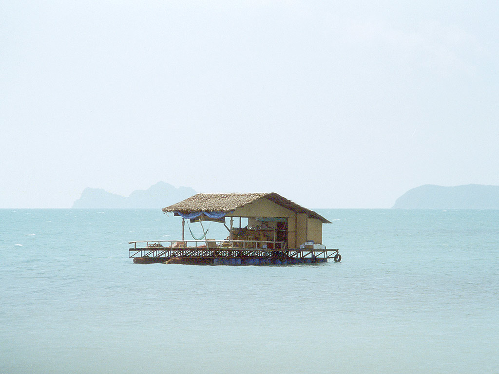
English: Near Haad Rin, Koh Phangan (Surat Thani, Thailand), on the horizon: the small islands Koh Tae Nok (right) und Koh Tae Nai (left)
Deutsch: "Hausboot" vor Haad Rin, Koh Phangan (Thailand); am Horizont: die kleinen Inseln Koh Tae Nok (rechts) und Koh Tae Nai (links)
|
| Date | 8 September 2005 (original upload date) |
| Source | No machine-readable source provided. Own work assumed (based on copyright claims). |
| Author | No machine-readable author provided. Tsui assumed (based on copyright claims). |
Licensing
I, the copyright holder of this work, hereby publish it under the following licenses:

|
Permission is granted to copy, distribute and/or modify this document under the terms of the GNU Free Documentation License, Version 1.2 or any later version published by the Free Software Foundation; with no Invariant Sections, no Front-Cover Texts, and no Back-Cover Texts. A copy of the license is included in the section entitled GNU Free Documentation License. |
| This file is licensed under the Creative Commons Attribution-Share Alike 3.0 Unported license. | ||
| ||
| This licensing tag was added to this file as part of the GFDL licensing update. |
You may select the license of your choice.
| Camera location | | View this and other nearby images on: OpenStreetMap |
|---|
File history
Click on a date/time to view the file as it appeared at that time.
| Date/Time | Thumbnail | Dimensions | User | Comment | |
|---|---|---|---|---|---|
| current | 16:10, 10 September 2005 | | 1,024 × 768 (120 KB) | Tsui | |
| 18:49, 8 September 2005 |  | 1,024 × 768 (82 KB) | Tsui | ||
| 18:32, 8 September 2005 |  | 1,024 × 768 (80 KB) | Tsui | Near Haad Rin (Surat Thani, Thailand), on the horizon: the small islands ''Koh Tae Nok'' (right) und ''Koh Tae Nai'' (left) ---- Author/Fotograf: Manfred Werner (User:Tsui or de:Benutzer:Tsui), Feb. 2003 |
File usage
The following pages on the English Wikipedia use this file (pages on other projects are not listed):
Global file usage
The following other wikis use this file: