
File:Letterston railway station (site), Pembrokeshire (geograph 5422560).jpg
Size of this preview: 800 × 600 pixels. Other resolutions: 320 × 240 pixels | 640 × 480 pixels | 1,024 × 768 pixels | 1,280 × 960 pixels | 1,600 × 1,200 pixels.
Original file (1,600 × 1,200 pixels, file size: 364 KB, MIME type: image/jpeg)
| This is a file from the Wikimedia Commons. Information from its description page there is shown below. Commons is a freely licensed media file repository. You can help. |
,_Pembrokeshire_(geograph_5422560).jpg)
Summary
| Description |
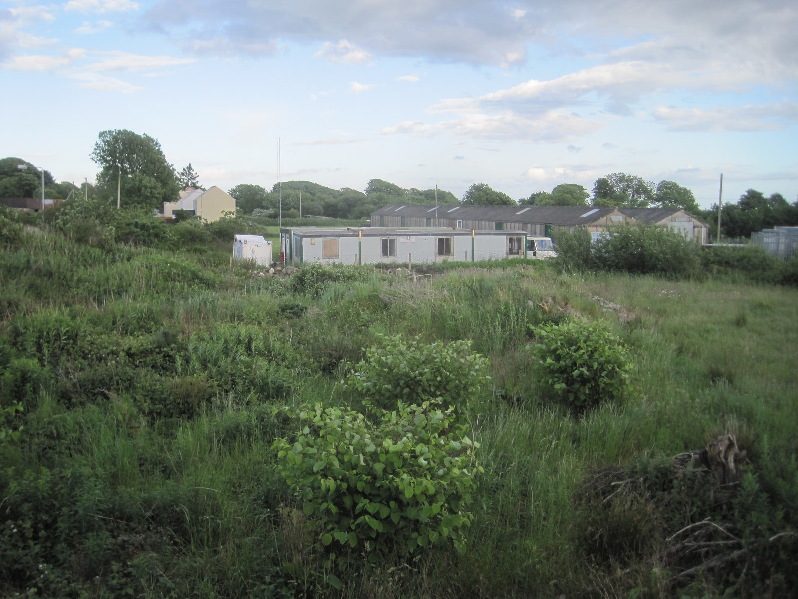
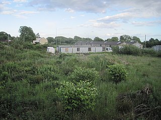
English: Letterston railway station (site), Pembrokeshire Opened in 1895 by the North Pembrokeshire and Fishguard Railway, later part of the Great Western Railway, on its line from Clunderwen to Fishguard & Goodwick, this station closed to passengers in 1937 and completely in 1965. View south east towards Beulah Halt and Clunderwen. No trace apparently remains. The site has become more overgrown in the seven years since SM9529 : Site of Letterston railway station was taken. |
| Date | |
| Source | From geograph.org.uk |
| Author | Nigel Thompson |
| Permission (Reusing this file) |
Creative Commons Attribution Share-alike license 2.0 |
| Attribution (required by the license) | Nigel Thompson / Letterston railway station (site), Pembrokeshire / |
.jpg)
| Camera location | | View this and other nearby images on: OpenStreetMap |
|---|
,_Pembrokeshire_(geograph_5422560).jpg¶ms=051.928594_N_-004.979547_E_globe:Earth_type:camera_source:geograph-osgb36(SM95242976)_heading:135.00&language=en)
| Object location | | View this and other nearby images on: OpenStreetMap |
|---|
,_Pembrokeshire_(geograph_5422560).jpg¶ms=051.927830_N_-004.977750_E_globe:Earth_class:object_type:object_source:geograph-osgb36(SM95362967)_heading:135.00&language=en)
Licensing

|
This image was taken from the Geograph project collection. See this photograph's page on the Geograph website for the photographer's contact details. The copyright on this image is owned by Nigel Thompson and is licensed for reuse under the Creative Commons Attribution-ShareAlike 2.0 license.
|
This file is licensed under the Creative Commons Attribution-Share Alike 2.0 Generic license.
Attribution: Nigel Thompson
- You are free:
- to share – to copy, distribute and transmit the work
- to remix – to adapt the work
- Under the following conditions:
- attribution – You must give appropriate credit, provide a link to the license, and indicate if changes were made. You may do so in any reasonable manner, but not in any way that suggests the licensor endorses you or your use.
- share alike – If you remix, transform, or build upon the material, you must distribute your contributions under the same or compatible license as the original.
File history
Click on a date/time to view the file as it appeared at that time.
| Date/Time | Thumbnail | Dimensions | User | Comment | |
|---|---|---|---|---|---|
| current | 21:49, 2 January 2020 | | 1,600 × 1,200 (364 KB) | Lamberhurst | == {{int:filedesc}} == {{Information |Description={{en|1=<b>Letterston railway station (site), Pembrokeshire</b><br>Opened in 1895 by the North Pembrokeshire and Fishguard Railway, later part of the Great Western Railway, on its line from Clunderwen to Fishguard & Goodwick, this station closed to passengers in 1937 and completely in 1965. View south east towards Beulah Halt and Clunderwen. No trace apparently remains. The site has become more overgrown in the seven years since [[:File:Site o... |
File usage
The following pages on the English Wikipedia use this file (pages on other projects are not listed):
,_Pembrokeshire_(geograph_5422560).jpg)