
File:Location map Indianapolis central.png

Size of this preview: 800 × 547 pixels. Other resolutions: 320 × 219 pixels | 640 × 437 pixels | 1,024 × 700 pixels | 1,206 × 824 pixels.
Original file (1,206 × 824 pixels, file size: 733 KB, MIME type: image/png)
| This is a file from the Wikimedia Commons. Information from its description page there is shown below. Commons is a freely licensed media file repository. You can help. |
Summary
| Description |
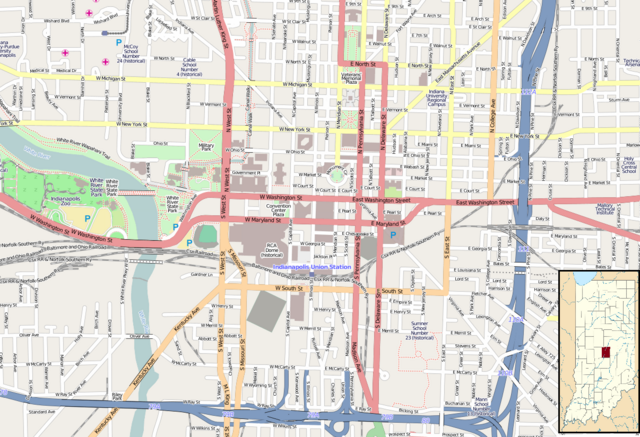
English: Map of Indianapolis
Geographic limits of the map:
|
| Date | |
| Source | Maps for Free (OSM) . Insert is based on File:USA Indiana location map.svg |
| Author | Dr. Blofeld. Insert by Alexrk2 |
Licensing
This file is licensed under the Creative Commons Attribution-Share Alike 2.0 Generic license.
- You are free:
- to share – to copy, distribute and transmit the work
- to remix – to adapt the work
- Under the following conditions:
- attribution – You must give appropriate credit, provide a link to the license, and indicate if changes were made. You may do so in any reasonable manner, but not in any way that suggests the licensor endorses you or your use.
- share alike – If you remix, transform, or build upon the material, you must distribute your contributions under the same or compatible license as the original.
File history
Click on a date/time to view the file as it appeared at that time.
| Date/Time | Thumbnail | Dimensions | User | Comment | |
|---|---|---|---|---|---|
| current | 14:37, 24 July 2011 | | 1,206 × 824 (733 KB) | Blofeld Dr. | {{Information |Description ={{en|1=d}} |Source =d |Author =d |Date =d |Permission = |other_versions = }} |
File usage
The following pages on the English Wikipedia use this file (pages on other projects are not listed):
- 2002 FIBA World Championship
- Athenæum (Das Deutsche Haus)
- Barnes and Thornburg Building
- Birch Bayh Federal Building and United States Courthouse
- Chatham–Arch, Indianapolis
- Christ Church Cathedral (Indianapolis)
- City-County Building (Indianapolis)
- Cole Motor Car Company
- Cottage Home Historic District
- Fidelity Trust Building (Indianapolis, Indiana)
- Fletcher Place
- Gibson Company Building
- H. P. Wasson and Company
- Hammond Block (Budnick's Trading Mart)
- Heier's Hotel
- Hilbert Circle Theatre
- Holy Rosary–Danish Church Historic District
- Horace Mann Public School No. 13
- Hotel Washington (Indianapolis, Indiana)
- Indiana Oxygen Company building
- Indiana State Library and Historical Bureau
- Indiana State Museum
- Indiana Statehouse
- Indiana Theatre (Indianapolis)
- Indianapolis Athletic Club
- Indianapolis Chair Manufacturing Company
- Indianapolis City Market
- Indianapolis Fire Headquarters and Municipal Garage
- Indianapolis Masonic Temple
- Indianapolis News Building
- Indianapolis Union Station
- Indianapolis White Castle
- Jackson Buildings
- Kahn Tailoring Company Building
- L.S. Ayres Annex Warehouse
- Le Méridien Indianapolis Hotel
- Lockefield Gardens
- Lockerbie Square Historic District
- Lombard Building (Indianapolis, Indiana)
- Majestic Building (Indianapolis, Indiana)
- Marott's Shoes Building
- McCormick Cabin Site
- Morrison Block
- Mt. Pisgah Lutheran Church
- Old Indianapolis City Hall
- Omni Severin Hotel
- Ransom Place Historic District
- Reserve Loan Life Insurance Company
- Rink's Womens Apparel Store
- Roberts Park Methodist Episcopal Church
- Scottish Rite Cathedral (Indianapolis)
- Selig's Dry Goods Company Building
- Slippery Noodle Inn
- Soldiers' and Sailors' Monument (Indianapolis)
- Spink Arms Hotel
- Taylor Carpet Company Building
- Test Building
- The Alameda (Indianapolis, Indiana)
- The Alexandra (Indianapolis, Indiana)
- The Ambassador (Indianapolis, Indiana)
- The Baker (Indianapolis, Indiana)
- The Burton
- The Cathcart
- The Colonial (Indianapolis, Indiana)
- The Columbia Club
- The Dartmouth (Indianapolis, Indiana)
- The Devonshire
- The Emelie
- The Glencoe (Indianapolis, Indiana)
- The Grover
- The Harriett
- The Mayleeno
- The McKay
- The Myrtle Fern
- The Oxford (Indianapolis, Indiana)
- The Rink (Indianapolis, Indiana)
- The Vienna
- The Wilson (Indianapolis, Indiana)
- Washington Street–Monument Circle Historic District
- West Washington Street Pumping Station
- Module:Location map/data/USA Indianapolis central
- Module:Location map/data/USA Indianapolis central/doc
Global file usage
The following other wikis use this file:
- Usage on ar.wikipedia.org
- Usage on bs.wikipedia.org
- Usage on ceb.wikipedia.org
- Usage on fa.wikipedia.org
- Usage on kn.wikipedia.org
- Usage on si.wikipedia.org
- Usage on tr.wikipedia.org
- Usage on ur.wikipedia.org
- Usage on war.wikipedia.org