
File:Location map United Kingdom Morecambe Bay.svg

Size of this PNG preview of this SVG file: 549 × 600 pixels. Other resolutions: 220 × 240 pixels | 439 × 480 pixels | 703 × 768 pixels | 937 × 1,024 pixels | 1,875 × 2,048 pixels | 823 × 899 pixels.
Original file (SVG file, nominally 823 × 899 pixels, file size: 6.46 MB)
| This is a file from the Wikimedia Commons. Information from its description page there is shown below. Commons is a freely licensed media file repository. You can help. |
Summary
| Description |
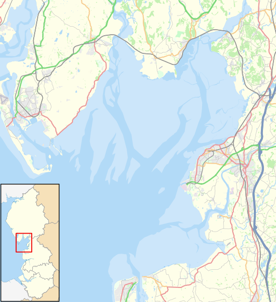
English: Map of Morecambe Bay, in Lancashire and Cumbria, England, in 2021.
Geographic limits:
Other road
Railway
River
Woodland
Built-up area |
| Date | |
| Source |
This file was derived from: North West England districts 2011 map.svg:
|
| Author |
|

Licensing
| This work contains information from OpenStreetMap, which is made available under the Open Database License (ODbL).
The ODbL does not require any particular license for maps produced from ODbL data. Prior to 1 August 2020, map tiles produced by the OpenStreetMap Foundation were licensed under the CC-BY-SA-2.0 license. Maps produced by other people may be subject to other licences. |
This file is licensed under the Creative Commons Attribution-Share Alike 4.0 International license.
Attribution: © OpenStreetMap contributors, Nilfanion and Dr Greg. Contains Ordnance Survey data © Crown copyright and database right 2021.
- You are free:
- to share – to copy, distribute and transmit the work
- to remix – to adapt the work
- Under the following conditions:
- attribution – You must give appropriate credit, provide a link to the license, and indicate if changes were made. You may do so in any reasonable manner, but not in any way that suggests the licensor endorses you or your use.
- share alike – If you remix, transform, or build upon the material, you must distribute your contributions under the same or compatible license as the original.
File history
Click on a date/time to view the file as it appeared at that time.
| Date/Time | Thumbnail | Dimensions | User | Comment | |
|---|---|---|---|---|---|
| current | 15:46, 23 January 2021 | | 823 × 899 (6.46 MB) | Dr Greg | Uploaded a work by *North West England districts 2011 map.svg: Nilfanion, created using Ordnance Survey data *OpenStreetMap: [http://www.openstreetmap.org/copyright OpenStreetMap contributors] *derivative work: Dr Greg from {{Derived from|North West England districts 2011 map.svg|display=50}} * http://www.openstreetmap.org/#map=10/54.0960/-3.0336 accessed 21 January 2020 with UploadWizard |
File usage
The following pages on the English Wikipedia use this file (pages on other projects are not listed):
- Aldingham
- Arnside
- Bardsea
- Bay Cycle Way
- Baycliff
- Bolton-le-Sands
- Canal Foot
- Chapel Island
- Cockerham
- Cockersand Abbey
- Cross Bay Walk
- Dova Haw
- Fleetwood
- Flookburgh
- Foulney Island
- Grange-over-Sands
- Headin Haw
- Heysham
- Islands of Furness
- Kents Bank
- Knott End-on-Sea
- Morecambe
- Morecambe Bay
- Newbiggin, Furness
- Piel Island
- Pilling
- Rampside
- Sheep Island (England)
- Silverdale, Lancashire
- Ulverston
- Walney Island
- Module:Location map/data/United Kingdom Morecambe Bay
- Module:Location map/data/United Kingdom Morecambe Bay/doc
Global file usage
The following other wikis use this file:
- Usage on fr.wikipedia.org
- Usage on si.wikipedia.org
- Usage on zh.wikipedia.org