
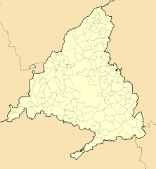
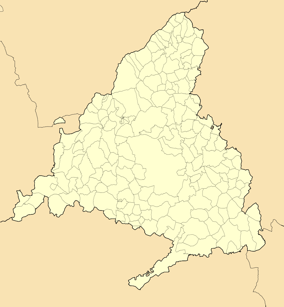
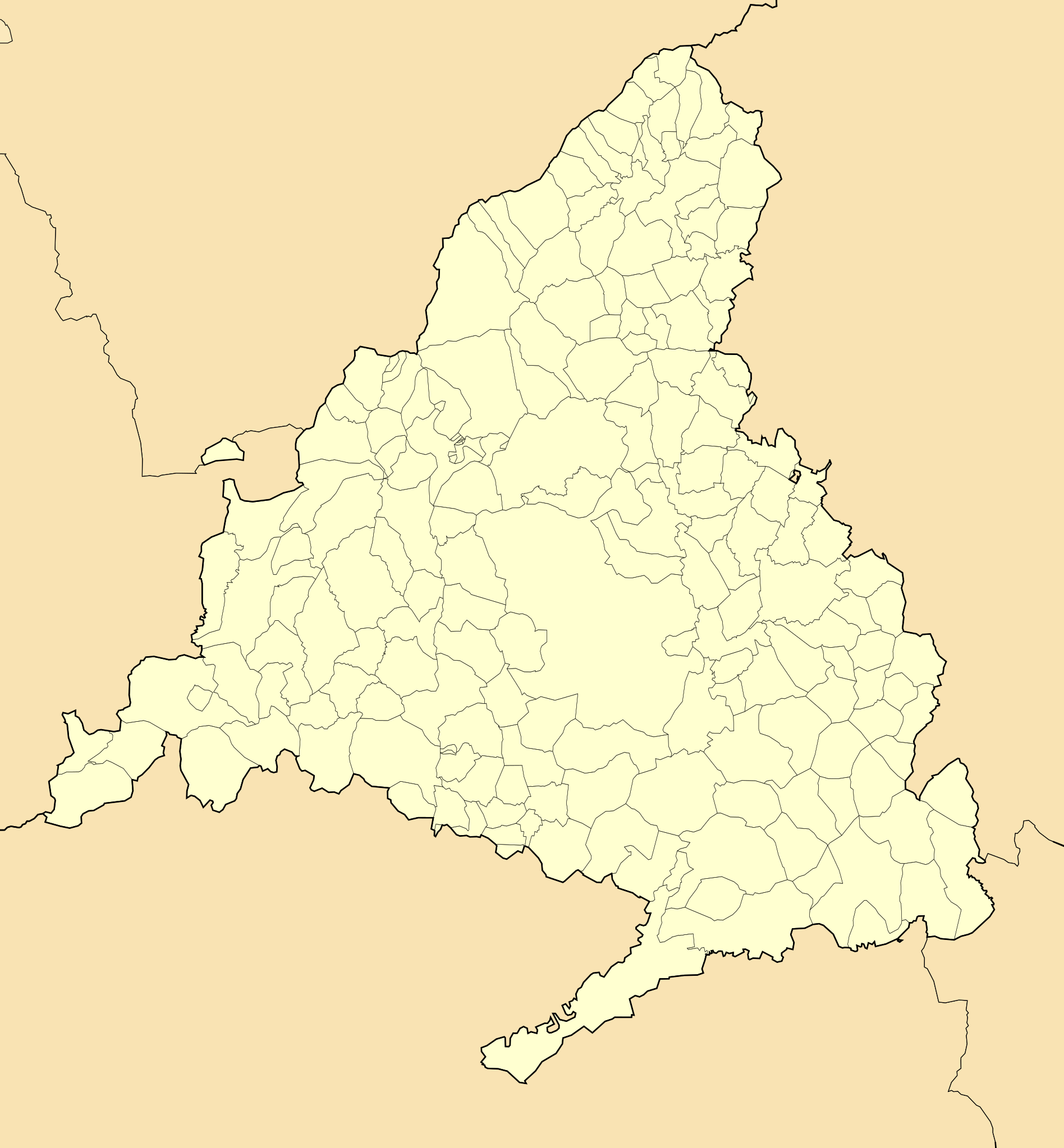
File:Madrid-loc.svg

Size of this PNG preview of this SVG file: 512 × 553 pixels. Other resolutions: 222 × 240 pixels | 444 × 480 pixels | 711 × 768 pixels | 948 × 1,024 pixels | 1,896 × 2,048 pixels.
Original file (SVG file, nominally 512 × 553 pixels, file size: 239 KB)
| This is a file from the Wikimedia Commons. Information from its description page there is shown below. Commons is a freely licensed media file repository. You can help. |
Summary
| Description |
Equirectangular projection, N/S stretching 130 %. Geographic limits of the map:
Proyección equirrectangular, N/S estirada 130 %. Límites geográficos del mapa:
|
|||||||||||||
| Date | (UTC) | |||||||||||||
| Source | ||||||||||||||
| Author | Miguillen | |||||||||||||
| Other versions |
|
|||||||||||||
| SVG development | This locator map was created with Inkscape.
|
|||||||||||||


Licensing
Miguillen, the copyright holder of this work, hereby publishes it under the following license:
This file is licensed under the Creative Commons Attribution-Share Alike 3.0 Unported license.
Attribution: Miguillen
- You are free:
- to share – to copy, distribute and transmit the work
- to remix – to adapt the work
- Under the following conditions:
- attribution – You must give appropriate credit, provide a link to the license, and indicate if changes were made. You may do so in any reasonable manner, but not in any way that suggests the licensor endorses you or your use.
- share alike – If you remix, transform, or build upon the material, you must distribute your contributions under the same or compatible license as the original.
File history
Click on a date/time to view the file as it appeared at that time.
| Date/Time | Thumbnail | Dimensions | User | Comment | |
|---|---|---|---|---|---|
| current | 19:32, 9 December 2010 | | 512 × 553 (239 KB) | Miguillen | enclave |
| 19:28, 9 December 2010 |  | 512 × 553 (239 KB) | Miguillen | uf | |
| 19:28, 9 December 2010 |  | 512 × 566 (96 KB) | Miguillen | colores según convención | |
| 10:09, 7 May 2010 |  | 512 × 553 (256 KB) | Miguillen | colores | |
| 20:34, 6 May 2010 |  | 512 × 552 (255 KB) | Miguillen | {{Information |Description=Mapa delocalización de la Comunidad de Madrid (España) |Source={{own}} |Date=2010-05-06 |Author=Miguillen |Permission= |other_versions= }} {{Taller de Cartografía}} Category:Maps of Madrid |
File usage
The following pages on the English Wikipedia use this file (pages on other projects are not listed):
Global file usage
The following other wikis use this file:
- Usage on an.wikipedia.org
- Madrit
- Móstoles
- Alcalá de Henares
- Fuenlabrada
- Leganés
- Getafe
- Alcorcón
- Alcobendas
- Torrejón de Ardoz
- San Fernando de Henares
- San Sebastián de los Reyes
- Estremera
- Fuentidueña de Tajo
- Villarejo de Salvanés
- Villamanrique de Tajo
- Colmenar de Oreja
- Aranjuez
- San Lorenzo de El Escorial
- Coslada
- Rivas-Vaciamadrid
- Pabillón Fernando Martín
- Majadahonda
- Palacio d'os Esportes d'a Comunidat de Madrit
- Estadio Santiago Bernabéu
- Monesterio d'El Escorial
- Plantilla:Mapa de localización Comunidat de Madrit
- Las Rozas de Madrid
- Pozuelo de Alarcón
- Boadilla del Monte
- Valdemoro
- Collado Villalba
- La Acebeda
- Ajalvir
- Alameda del Valle
- El Álamo (Madrit)
- Aldea del Fresno
- Algete
- Alpedrete
- Ambite
- Anchuelo
- Arganda del Rey
- Arroyomolinos (Madrit)
- El Atazar
- Batres
- Becerril de la Sierra
- Belmonte de Tajo
- El Berrueco
- Berzosa del Lozoya
- El Boalo
- Braojos
View more global usage of this file.