
File:Mapa das Regiões Administrativas do Distrito Federal (Brasil) 2022.svg

Size of this PNG preview of this SVG file: 800 × 473 pixels. Other resolutions: 320 × 189 pixels | 640 × 378 pixels | 1,024 × 605 pixels | 1,280 × 757 pixels | 2,560 × 1,513 pixels | 993 × 587 pixels.
Original file (SVG file, nominally 993 × 587 pixels, file size: 163 KB)
| This is a file from the Wikimedia Commons. Information from its description page there is shown below. Commons is a freely licensed media file repository. You can help. |
_2022.svg)
Summary
| Description |
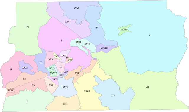
English: Administrative Regions of Brazil's Federal District as of 21 December 2022. |
| Date | |
| Source | Infraestrutura de Dados Espaciais do Distrito Federal |
| Author | Lasunncty |
Licensing
I, the copyright holder of this work, hereby publish it under the following license:
| This file is made available under the Creative Commons CC0 1.0 Universal Public Domain Dedication. | |
| The person who associated a work with this deed has dedicated the work to the public domain by waiving all of their rights to the work worldwide under copyright law, including all related and neighboring rights, to the extent allowed by law. You can copy, modify, distribute and perform the work, even for commercial purposes, all without asking permission.
|
File history
Click on a date/time to view the file as it appeared at that time.
| Date/Time | Thumbnail | Dimensions | User | Comment | |
|---|---|---|---|---|---|
| current | 06:46, 24 November 2023 | | 993 × 587 (163 KB) | Lasunncty | Uploaded own work with UploadWizard |
File usage
The following pages on the English Wikipedia use this file (pages on other projects are not listed):
Global file usage
The following other wikis use this file:
- Usage on ja.wikipedia.org
_2022.svg)