
File:Marshall Islands Micronesia Locator.png
No higher resolution available.
Marshall_Islands_Micronesia_Locator.png (734 × 600 pixels, file size: 121 KB, MIME type: image/png)
| This is a file from the Wikimedia Commons. Information from its description page there is shown below. Commons is a freely licensed media file repository. You can help. |
Summary
| Description |
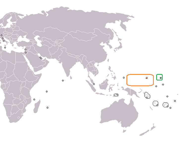
English: Locator map for the Marshall Islands and Micronesia. Adapted from Wikipedia blank world map (as per standard for articles on bilateral relations). |
| Date | (UTC) |
| Source | I (1Martin33 (talk)) created this work entirely by myself. |
| Author | 1Martin33 (talk) |
Licensing
| This work has been released into the public domain by its author, 1Martin33 at English Wikipedia. This applies worldwide. In some countries this may not be legally possible; if so: 1Martin33 grants anyone the right to use this work for any purpose, without any conditions, unless such conditions are required by law. |
Original upload log
The original description page was here. All following user names refer to en.wikipedia.
- 2010-05-26 03:48 1Martin33 734×600× (124262 bytes) {{Information |Description = Locator map for the Marshall Islands and Micronesia. Adapted from Wikipedia blank world map (as per standard for articles on bilateral relations). |Source = I (~~~) created this work entirely by myself. |Date
File history
Click on a date/time to view the file as it appeared at that time.
| Date/Time | Thumbnail | Dimensions | User | Comment | |
|---|---|---|---|---|---|
| current | 11:30, 28 September 2016 | | 734 × 600 (121 KB) | XXN | == Summary == {{Information |Description = Locator map for the Marshall Islands and Micronesia. Adapted from Wikipedia blank world map (as per standard for articles on bilateral relations). |Source = I (1Martin33 ([[... |
File usage
The following pages on the English Wikipedia use this file (pages on other projects are not listed):
Global file usage
The following other wikis use this file:
- Usage on he.wikipedia.org
- Usage on pt.wikipedia.org