
File:Mokattam district map, Cairo.jpg
Size of this preview: 800 × 566 pixels. Other resolutions: 320 × 227 pixels | 640 × 453 pixels | 1,024 × 725 pixels | 1,130 × 800 pixels.
Original file (1,130 × 800 pixels, file size: 88 KB, MIME type: image/jpeg)
| This is a file from the Wikimedia Commons. Information from its description page there is shown below. Commons is a freely licensed media file repository. You can help. |
Summary
| Description |
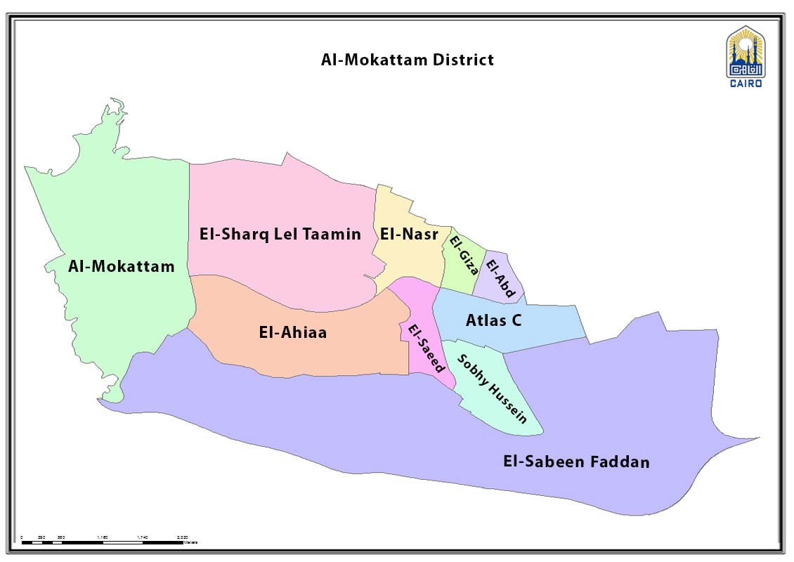
English: Diatrixt map showing shiakha subdivisions |
| Date | |
| Source | http://www.cairo.gov.eg/en/Maps/Pages/Hay_Map.aspx?ID=17 |
| Author | Cairo Governorate |
Licensing
| This work is not an object of copyright in Egypt because it is an official document. Regardless of their source or target language, all official documents are ineligible for protection in Egypt, including laws, regulations, resolutions and decisions, international conventions, court decisions, award of arbitrators and decisions of administrative committees having judicial competence. (Article 141 of Intellectual Property Law 82 of 2002) | 
|
File history
Click on a date/time to view the file as it appeared at that time.
| Date/Time | Thumbnail | Dimensions | User | Comment | |
|---|---|---|---|---|---|
| current | 21:28, 16 March 2023 | | 1,130 × 800 (88 KB) | Ypedia1 | Uploaded a work by Cairo Governorate from http://www.cairo.gov.eg/en/Maps/Pages/Hay_Map.aspx?ID=17 with UploadWizard |
File usage
The following pages on the English Wikipedia use this file (pages on other projects are not listed):
Global file usage
The following other wikis use this file:
- Usage on ar.wikipedia.org
- Usage on fr.wikipedia.org