
File:Mornick - geograph.org.uk - 530641.jpg
No higher resolution available.
Mornick_-_geograph.org.uk_-_530641.jpg (640 × 424 pixels, file size: 196 KB, MIME type: image/jpeg)
| This is a file from the Wikimedia Commons. Information from its description page there is shown below. Commons is a freely licensed media file repository. You can help. |
Summary
| Description |
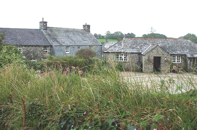
English: Mornick. A view over the hedge of some of the buildings that make up the locality of Mornick. The lanes of this hamlet look a little strange on the map as two of them peter out, though the one that this photo was taken from actually continues as an unfenced, unmetalled track to Stockaton. (see 534076) |
| Date | |
| Source | From geograph.org.uk |
| Author | Rob Farrow |
| Attribution (required by the license) | Rob Farrow / Mornick / |
| Camera location | | View this and other nearby images on: OpenStreetMap |
|---|
_heading:157.00&language=en)
| Object location | | View this and other nearby images on: OpenStreetMap |
|---|
_heading:157.00&language=en)
Licensing

|
This image was taken from the Geograph project collection. See this photograph's page on the Geograph website for the photographer's contact details. The copyright on this image is owned by Rob Farrow and is licensed for reuse under the Creative Commons Attribution-ShareAlike 2.0 license.
|
This file is licensed under the Creative Commons Attribution-Share Alike 2.0 Generic license.
Attribution: Rob Farrow
- You are free:
- to share – to copy, distribute and transmit the work
- to remix – to adapt the work
- Under the following conditions:
- attribution – You must give appropriate credit, provide a link to the license, and indicate if changes were made. You may do so in any reasonable manner, but not in any way that suggests the licensor endorses you or your use.
- share alike – If you remix, transform, or build upon the material, you must distribute your contributions under the same or compatible license as the original.
File history
Click on a date/time to view the file as it appeared at that time.
| Date/Time | Thumbnail | Dimensions | User | Comment | |
|---|---|---|---|---|---|
| current | 20:28, 5 February 2011 | | 640 × 424 (196 KB) | GeographBot | == {{int:filedesc}} == {{Information |description={{en|1=Mornick A view over the hedge of some of the buildings that make up the locality of Mornick. The lanes of this hamlet look a little strange on the map as two of them peter out, though the one that t |
File usage
The following pages on the English Wikipedia use this file (pages on other projects are not listed):
Global file usage
The following other wikis use this file: