
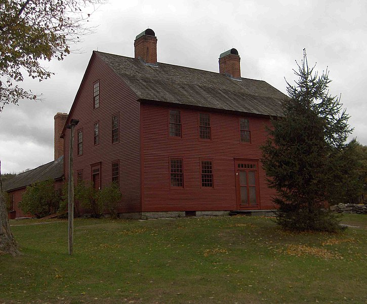
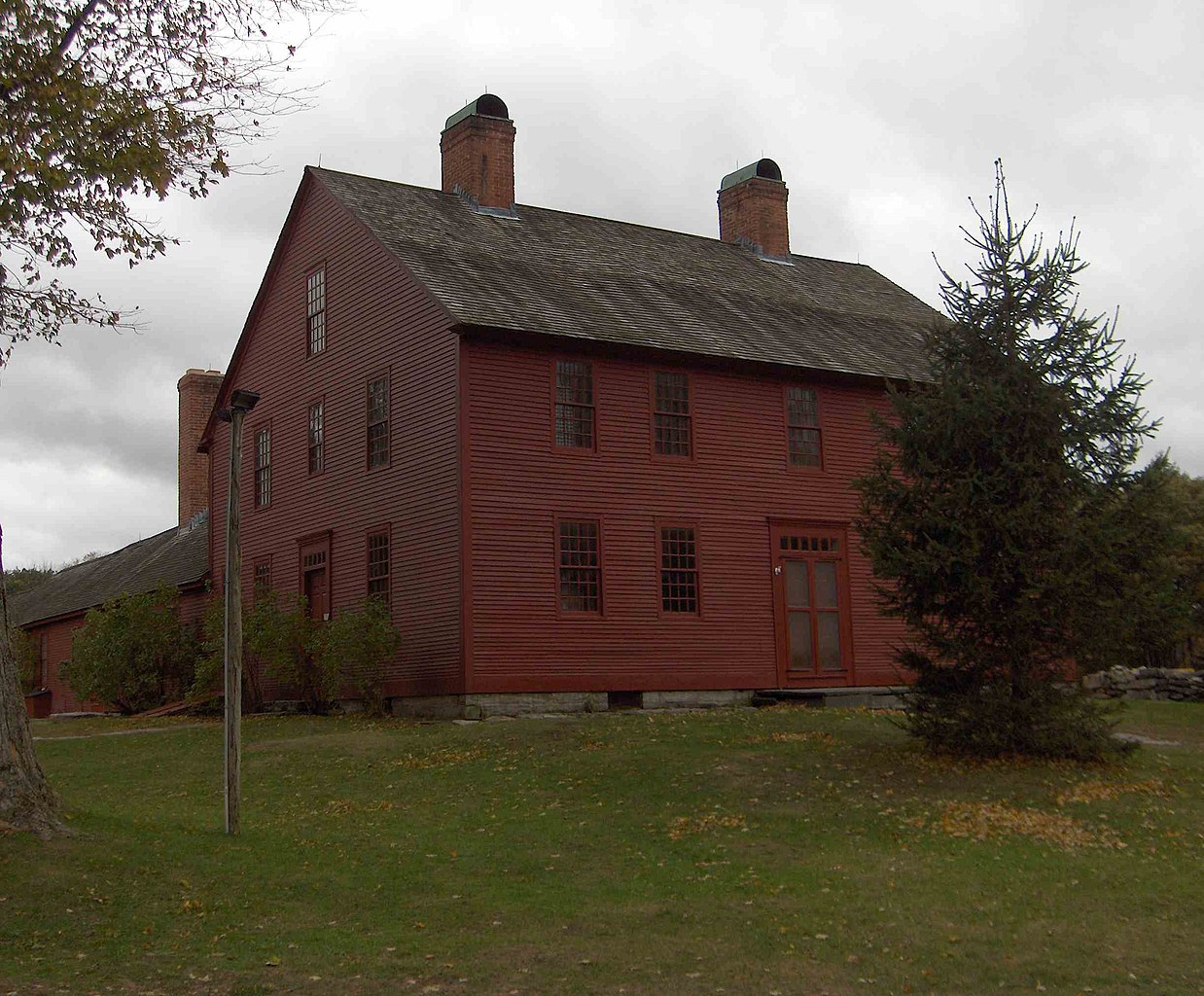
File:Nathan Hale Homestead.JPG

Size of this preview: 725 × 600 pixels. Other resolutions: 290 × 240 pixels | 580 × 480 pixels | 929 × 768 pixels | 1,238 × 1,024 pixels | 2,447 × 2,024 pixels.
Original file (2,447 × 2,024 pixels, file size: 272 KB, MIME type: image/jpeg)
| This is a file from the Wikimedia Commons. Information from its description page there is shown below. Commons is a freely licensed media file repository. You can help. |
|
This is an image of a place or building that is listed on the National Register of Historic Places in the United States of America. Its reference number is 70000698. |
Summary
| Description |
English: This s the Nathan Hale Homestead. Nathan probaby never saw this building, as it was completed during the war. His family moved into the home in October 1776; he had been hanged in September. He was born and grew up in a building on the same property, but that building was razed to build a larger building. The Homestead is located in Coventry CT USA |
| Date | |
| Source | Own work |
| Author | Sphilbrick |
| Other versions |

| Object location | | View this and other nearby images on: OpenStreetMap |
|---|
Licensing
I, the copyright holder of this work, hereby publish it under the following licenses:
This file is licensed under the Creative Commons Attribution-Share Alike 3.0 Unported license.
- You are free:
- to share – to copy, distribute and transmit the work
- to remix – to adapt the work
- Under the following conditions:
- attribution – You must give appropriate credit, provide a link to the license, and indicate if changes were made. You may do so in any reasonable manner, but not in any way that suggests the licensor endorses you or your use.
- share alike – If you remix, transform, or build upon the material, you must distribute your contributions under the same or compatible license as the original.

|
Permission is granted to copy, distribute and/or modify this document under the terms of the GNU Free Documentation License, Version 1.2 or any later version published by the Free Software Foundation; with no Invariant Sections, no Front-Cover Texts, and no Back-Cover Texts. A copy of the license is included in the section entitled GNU Free Documentation License. |
You may select the license of your choice.
File history
Click on a date/time to view the file as it appeared at that time.
| Date/Time | Thumbnail | Dimensions | User | Comment | |
|---|---|---|---|---|---|
| current | 01:32, 17 October 2010 | | 2,447 × 2,024 (272 KB) | Sphilbrick | {{Information |Description={{en|1=This s the Nathan Hale Homestead. Nathan probaby never saw this building, as it was completed during the war. His family moved into the home in October 1776; he had been hanged in September. He was born and grew up in a b |
File usage
The following pages on the English Wikipedia use this file (pages on other projects are not listed):
Global file usage
The following other wikis use this file:
- Usage on sv.wikipedia.org
- Usage on www.wikidata.org