
File:Netherlands, Kaag en Braassem, Kaag (dorp), 2.JPG

Size of this preview: 800 × 531 pixels. Other resolutions: 320 × 213 pixels | 640 × 425 pixels | 1,024 × 680 pixels | 1,280 × 850 pixels | 2,144 × 1,424 pixels.
Original file (2,144 × 1,424 pixels, file size: 892 KB, MIME type: image/jpeg)
| This is a file from the Wikimedia Commons. Information from its description page there is shown below. Commons is a freely licensed media file repository. You can help. |
,_2.JPG)
Summary
| Description |
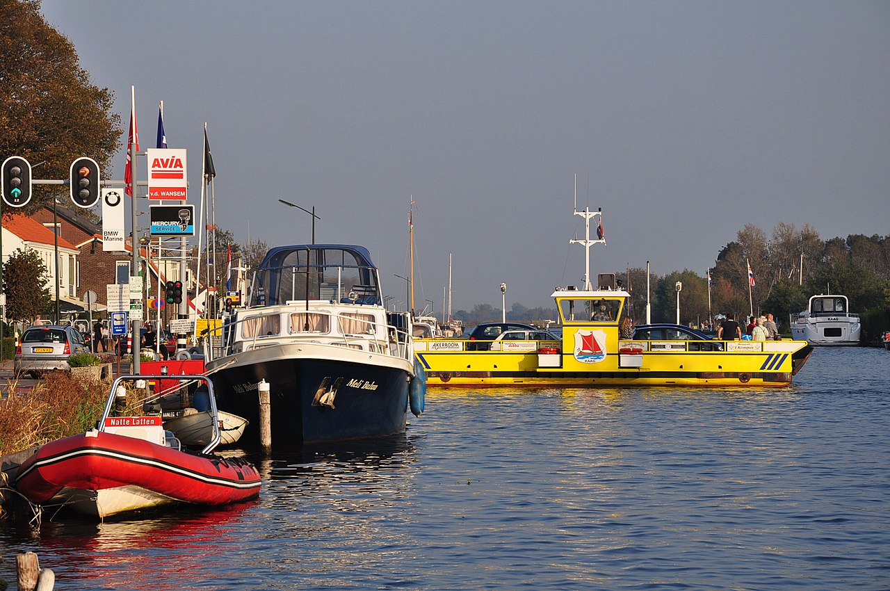
Nederlands: De veerpont over de ringvaart van de Haarlemmermeerpolder tussen Buitenkaag in de Haarlemmermeer (links) en Kaag-dorp (gemeente Kaag en Braassem, Prov. Zuid Holland).
English: The car ferry between Buitenkaag in the Haarlemmermeer Polder (left shore) and the village of Kaag, located on an island in the Kaag Lakes (not visible on the picture); municipality Kaag en Braassem, Province South Holland, Netherlands. |
| Date | |
| Source | Own work |
| Author | Vincent van Zeijst |
The ferry is located at:
| Camera location | | View this and other nearby images on: OpenStreetMap |
|---|
,_2.JPG¶ms=052.218703_N_0004.559889_E_globe:Earth_type:camera__&language=en)
Licensing
I, the copyright holder of this work, hereby publish it under the following license:
This file is licensed under the Creative Commons Attribution-Share Alike 3.0 Unported license.
- You are free:
- to share – to copy, distribute and transmit the work
- to remix – to adapt the work
- Under the following conditions:
- attribution – You must give appropriate credit, provide a link to the license, and indicate if changes were made. You may do so in any reasonable manner, but not in any way that suggests the licensor endorses you or your use.
- share alike – If you remix, transform, or build upon the material, you must distribute your contributions under the same or compatible license as the original.
File history
Click on a date/time to view the file as it appeared at that time.
| Date/Time | Thumbnail | Dimensions | User | Comment | |
|---|---|---|---|---|---|
| current | 21:41, 22 November 2012 | | 2,144 × 1,424 (892 KB) | Loranchet | {{Information |Description ={{nl|1=De veerpont over de ringvaart van de Haarlemmermeerpolder tussen Buitenkaag in de Haarlemmermeer (links) en Kaag-dorp (gemeente Kaag en Braassem, Prov. Zuid Holland).}} {{en|1=The car ferry between Buitenkaag in th... |
File usage
The following pages on the English Wikipedia use this file (pages on other projects are not listed):
Global file usage
The following other wikis use this file:
- Usage on de.wikipedia.org
- Usage on li.wikipedia.org
- Usage on nl.wikipedia.org
- Usage on www.wikidata.org
,_2.JPG)