
File:North Devon's Biosphere Reserve map.svg

Size of this PNG preview of this SVG file: 722 × 600 pixels. Other resolutions: 289 × 240 pixels | 578 × 480 pixels | 924 × 768 pixels | 1,233 × 1,024 pixels | 2,465 × 2,048 pixels | 1,425 × 1,184 pixels.
Original file (SVG file, nominally 1,425 × 1,184 pixels, file size: 1.61 MB)
| This is a file from the Wikimedia Commons. Information from its description page there is shown below. Commons is a freely licensed media file repository. You can help. |
| Description |
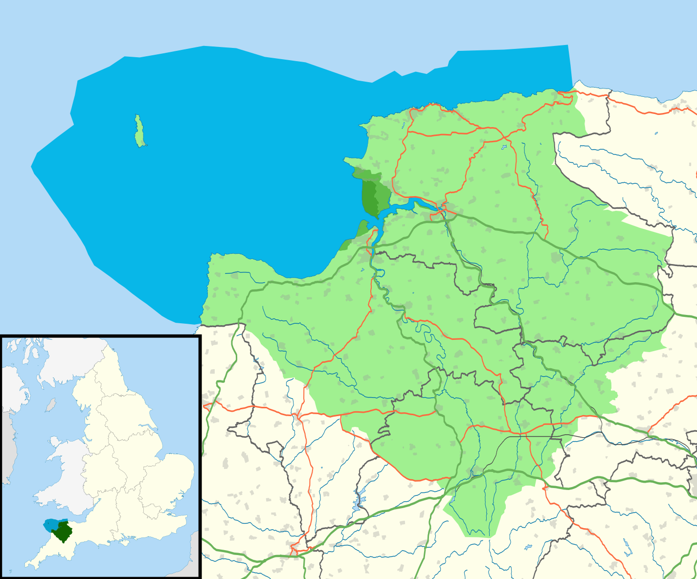
English: Map of North Devon's Biosphere Reserve, UK, with the various parts of the reserve highlighted. The base map shows the administrative districts and transport links.
Core Zone
Buffer Zone
Reserve
Marine portion |
| Date | |
| Source |
North Devon AONB and Biosphere Service - Devon County Council
|
| Author | Nilfanion, created using Ordnance Survey data |
| Permission (Reusing this file) |
This file is licensed under the Creative Commons Attribution-Share Alike 3.0 Unported license.
Attribution: Contains Ordnance Survey data © Crown copyright and database right
- You are free:
- to share – to copy, distribute and transmit the work
- to remix – to adapt the work
- Under the following conditions:
- attribution – You must give appropriate credit, provide a link to the license, and indicate if changes were made. You may do so in any reasonable manner, but not in any way that suggests the licensor endorses you or your use.
- share alike – If you remix, transform, or build upon the material, you must distribute your contributions under the same or compatible license as the original.
File history
Click on a date/time to view the file as it appeared at that time.
| Date/Time | Thumbnail | Dimensions | User | Comment | |
|---|---|---|---|---|---|
| current | 11:10, 23 March 2011 | | 1,425 × 1,184 (1.61 MB) | Nilfanion | clipped to Devon border |
| 18:54, 22 March 2011 |  | 1,425 × 1,184 (1.61 MB) | Nilfanion | {{Information |Description=Map of North Devon's Biosphere Reserve, UK, with the various parts of the reserve highlighted. The base map shows the administrative districts and transport links. {{legend|#45a632|Core Zone}} {{legend|#60bf4d|Buffer Zone}} {{l |
File usage
The following pages on the English Wikipedia use this file (pages on other projects are not listed):
Global file usage
The following other wikis use this file:
- Usage on fr.wikipedia.org