
File:Points North from the air.jpg
Size of this preview: 800 × 600 pixels. Other resolutions: 320 × 240 pixels | 640 × 480 pixels | 1,024 × 768 pixels | 1,280 × 960 pixels | 2,560 × 1,920 pixels | 3,968 × 2,976 pixels.
Original file (3,968 × 2,976 pixels, file size: 2.53 MB, MIME type: image/jpeg)
| This is a file from the Wikimedia Commons. Information from its description page there is shown below. Commons is a freely licensed media file repository. You can help. |
Summary
| Description |
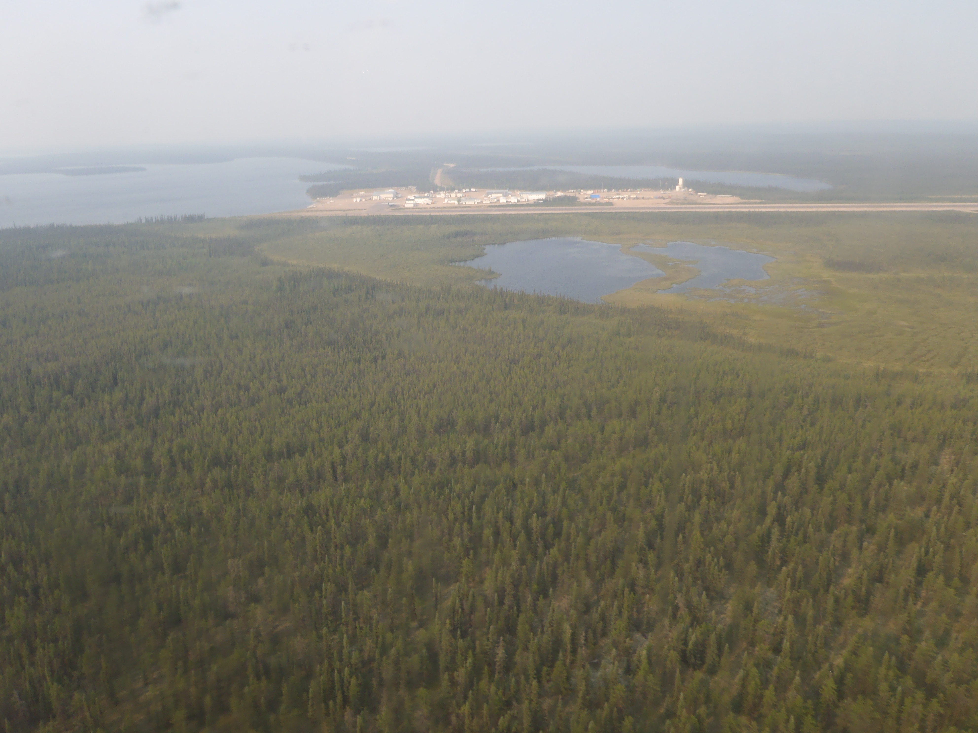
English: Points North camp/airport in Northern Saskatchewan as viewed on a hazy ( forest fires ) day. |
| Date | |
| Source |
Looking out the plane on a return from end of canoe trip. |
| Author | Mpeel |
| Object location | | View this and other nearby images on: OpenStreetMap |
|---|
Licensing
I, the copyright holder of this work, hereby publish it under the following licenses:

|
Permission is granted to copy, distribute and/or modify this document under the terms of the GNU Free Documentation License, Version 1.2 or any later version published by the Free Software Foundation; with no Invariant Sections, no Front-Cover Texts, and no Back-Cover Texts. A copy of the license is included in the section entitled GNU Free Documentation License. |
This file is licensed under the Creative Commons Attribution-Share Alike 4.0 International license.
- You are free:
- to share – to copy, distribute and transmit the work
- to remix – to adapt the work
- Under the following conditions:
- attribution – You must give appropriate credit, provide a link to the license, and indicate if changes were made. You may do so in any reasonable manner, but not in any way that suggests the licensor endorses you or your use.
- share alike – If you remix, transform, or build upon the material, you must distribute your contributions under the same or compatible license as the original.
You may select the license of your choice.
File history
Click on a date/time to view the file as it appeared at that time.
| Date/Time | Thumbnail | Dimensions | User | Comment | |
|---|---|---|---|---|---|
| current | 22:36, 2 April 2017 | | 3,968 × 2,976 (2.53 MB) | Embedded Data Bot | This file contains embedded data: After 2.5MiB (2655761 bytes). Detected MIME: image/jpeg (JPEG image data, baseline, precision 8, 640x480, frames 3) |
| 22:36, 2 April 2017 |  | 3,968 × 2,976 (2.6 MB) | Mpeel | {{subst:Upload marker added by en.wp UW}} {{Information |Description = {{en|Points North camp/airport in Northern Saskatchewan as viewed on a hazy ( forest fires ) day.}} |Source = Looking out the plane on a return from end of canoe trip.<br/> '''Previ... |
File usage
The following pages on the English Wikipedia use this file (pages on other projects are not listed):