
File:Rame laht 12Apr2009.jpg

Size of this preview: 800 × 600 pixels. Other resolutions: 320 × 240 pixels | 640 × 480 pixels | 1,024 × 768 pixels | 1,280 × 960 pixels | 2,048 × 1,536 pixels.
Original file (2,048 × 1,536 pixels, file size: 1.46 MB, MIME type: image/jpeg)
| This is a file from the Wikimedia Commons. Information from its description page there is shown below. Commons is a freely licensed media file repository. You can help. |
Summary
| Description |
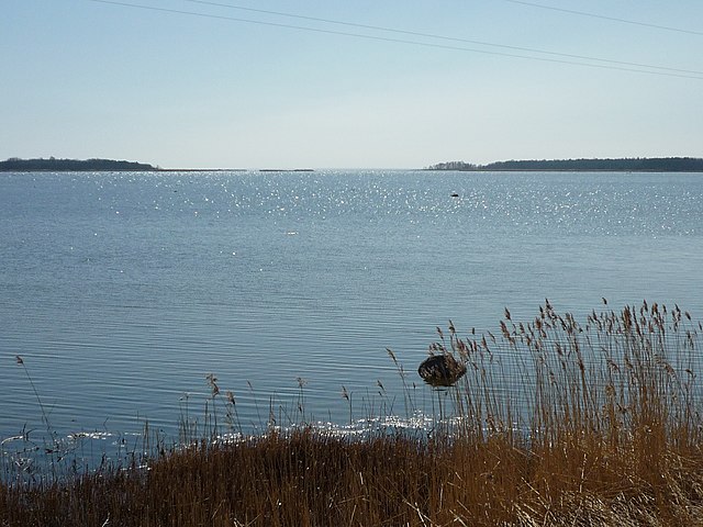
English: Bay of Rame near Virtsu. View from old railway embankment to south. Rame coast is left and Puhtulaid right. Hanila parish, Lääne county, Estonia.
Eesti: Rame laht Virtsu lähedal. Vaade vanalt raudteetammilt lõunasse. Vasakul paistab Rame rand, paremal Puhtulaid. Hanila vald, Lääne maakond, Eesti. |
| Date | |
| Source | Own work |
| Author | Jaan Rebane |
| Camera location | | View this and other nearby images on: OpenStreetMap |
|---|
Licensing
| I, the copyright holder of this work, release this work into the public domain. This applies worldwide. In some countries this may not be legally possible; if so: I grant anyone the right to use this work for any purpose, without any conditions, unless such conditions are required by law. |
File history
Click on a date/time to view the file as it appeared at that time.
| Date/Time | Thumbnail | Dimensions | User | Comment | |
|---|---|---|---|---|---|
| current | 07:28, 21 April 2009 | | 2,048 × 1,536 (1.46 MB) | Jaan513 | {{Information |Description={{en|1=Bay of Rame near Virtsu. View from old railway embankment to south. Rame coast is left and Puhtulaid right. Hanila parish, Lääne county, Estonia.}} {{et|1=Rame laht Virtsu lähedal. Vaade vanalt raudteetammilt lõunasse |
File usage
The following pages on the English Wikipedia use this file (pages on other projects are not listed):
Global file usage
The following other wikis use this file:
- Usage on de.wikipedia.org
- Usage on es.wikipedia.org
- Usage on et.wikipedia.org
- Usage on hy.wikipedia.org
- Usage on pl.wikipedia.org
- Usage on www.wikidata.org