
File:Small-Oregon-Map.png
Size of this preview: 470 × 599 pixels. Other resolutions: 188 × 240 pixels | 546 × 696 pixels.
Original file (546 × 696 pixels, file size: 558 KB, MIME type: image/png)
Summary[edit]
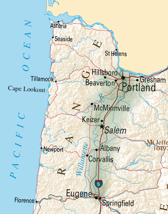
| Description |
Small Map of Oregon | ||
|---|---|---|---|
| Source |
Adaptation of a file from Wikimedia Commons: http://en.wikipedia.org/wiki/File:Map_of_Oregon_NA.png Digital editing by Tim Davenport for Wikipedia, no copyright claimed | ||
| Date | |||
| Author |
| ||
| Permission (Reusing this file) |
See below.
|
Licensing[edit]
| This work is licensed under the Creative Commons Attribution-ShareAlike 3.0 License. |
| The uploader or another editor requests that a local copy of this file be kept. This image or media file may be available on the Wikimedia Commons as File:Small-Oregon-Map.png. While the license of this file may be compliant with the Wikimedia Commons, an editor has requested that the local copy be kept too. This file does not meet CSD F8 and should not be tagged as a Commons duplicate. If you desire to nominate it for deletion, notify the tagging editor. |
File history
Click on a date/time to view the file as it appeared at that time.
| Date/Time | Thumbnail | Dimensions | User | Comment | |
|---|---|---|---|---|---|
| current | 20:05, 12 April 2010 | | 546 × 696 (558 KB) | Carrite (talk | contribs) | Better depiction of Willamette Valley boundaries |
| 18:38, 12 April 2010 |  | 546 × 696 (552 KB) | Carrite (talk | contribs) | Adaptation of a file from Wikipedia Commons: http://en.wikipedia.org/wiki/File:Map_of_Oregon_NA.png Digital editing by Tim Davenport for Wikipedia, no copyright claimed |
You cannot overwrite this file.
File usage
The following file is a duplicate of this file (more details):
- File:Small-Oregon-Map.png from Commons
The following pages on the English Wikipedia use this file (pages on other projects are not listed):