
File:Subang Jaya.jpg

Original file (4,000 × 2,999 pixels, file size: 7.61 MB, MIME type: image/jpeg)
| This is a file from the Wikimedia Commons. Information from its description page there is shown below. Commons is a freely licensed media file repository. You can help. |
| Description |
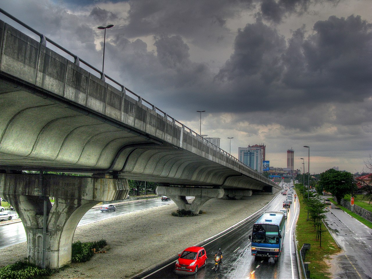
Subang Jaya was the location for BarCampKL 2010. It is also probably one of the least pedestrian-friendly places on Earth. In fact, I suspect that the planners of Subang Jaya did not really believe in the existence of pedestrians, regarding them as mythical creatures like elves and pixies. Refusing to allow their plans to be sullied by such superstitious nonsense, they were careful to ensure that Subang Jaya is entirely free of the blemishes of sidewalks and pedestrian crossings. They almost succeeded, but not quite. Subang Jaya has a smattering of pedestrian footbridges. This picture was taken from one of them. This image was created by tone-mapping an HDR image generated from three separate exposures. The HDR image was generated and tone-mapped using Photomatix Pro. |
||
| Date | |||
| Source | Flickr: Subang Jaya | ||
| Author | Robert Lowe | ||
| Permission (Reusing this file) |
This file is licensed under the Creative Commons Attribution 2.0 Generic license.
|
| Camera location | | View this and other nearby images on: OpenStreetMap |
|---|
File history
Click on a date/time to view the file as it appeared at that time.
| Date/Time | Thumbnail | Dimensions | User | Comment | |
|---|---|---|---|---|---|
| current | 16:18, 10 October 2013 | | 4,000 × 2,999 (7.61 MB) | Flickr upload bot | Uploaded from http://flickr.com/photo/8143486@N04/4599202529 using Flickr upload bot |
File usage
Global file usage
The following other wikis use this file:
- Usage on ta.wikipedia.org
- Usage on zh.wikipedia.org