
File:Trig. point at Ridley - geograph.org.uk - 151530.jpg
No higher resolution available.
Trig._point_at_Ridley_-_geograph.org.uk_-_151530.jpg (640 × 485 pixels, file size: 79 KB, MIME type: image/jpeg)
| This is a file from the Wikimedia Commons. Information from its description page there is shown below. Commons is a freely licensed media file repository. You can help. |
Summary
| Description |
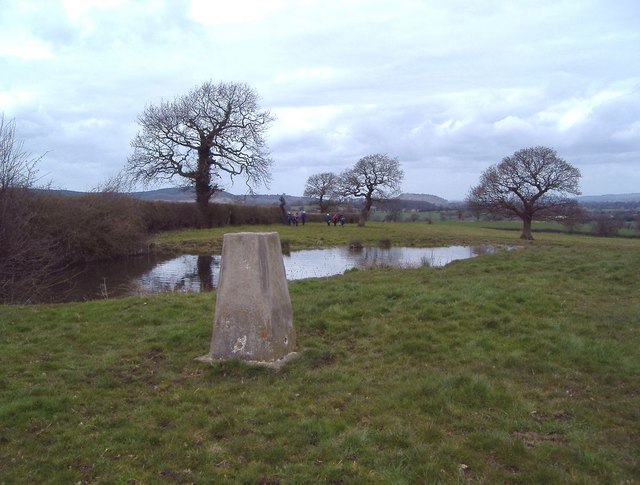
English: Trig. point at Ridley The view is to the NW. The trig. point (alt. 125m) lies just E of the A49 and just N of the A534 in the parish of Ridley. A telephone mast and covered reservoir lie just behind the photographer. This is the high point of the undulating land east of the Peckforton Hills and south of the Beeston Gap. The Peckforton Hills are seen in the distance, with Peckforton Castle on the central skyline 5 km away and Beeston Castle just visible on the skyline a little further to the right on its isolated hill nearly 6 km away. This part of Cheshire seems not to know whether it is supposed to be the Cheshire Plain or the sandstone hills and has a character of its own. |
| Date | |
| Source | From geograph.org.uk |
| Author | Mike Harris |
| Attribution (required by the license) | Mike Harris / Trig. point at Ridley / |
| Object location | | View this and other nearby images on: OpenStreetMap |
|---|
_heading:315.00&language=en)
Licensing

|
This image was taken from the Geograph project collection. See this photograph's page on the Geograph website for the photographer's contact details. The copyright on this image is owned by Mike Harris and is licensed for reuse under the Creative Commons Attribution-ShareAlike 2.0 license.
|
This file is licensed under the Creative Commons Attribution-Share Alike 2.0 Generic license.
Attribution: Mike Harris
- You are free:
- to share – to copy, distribute and transmit the work
- to remix – to adapt the work
- Under the following conditions:
- attribution – You must give appropriate credit, provide a link to the license, and indicate if changes were made. You may do so in any reasonable manner, but not in any way that suggests the licensor endorses you or your use.
- share alike – If you remix, transform, or build upon the material, you must distribute your contributions under the same or compatible license as the original.
- Remove redundant categories and try to put this image in the most specific category/categories
- Remove this template
- The location categories are based on information from this geonames tool and this OpenStreetMap tool combined with a database. You can also have a look at this tool from mysociety.
- The topic category from Geograph was Triangulation Pillar (find similar images Pillar at Geograph)
File history
Click on a date/time to view the file as it appeared at that time.
| Date/Time | Thumbnail | Dimensions | User | Comment | |
|---|---|---|---|---|---|
| current | 11:53, 31 January 2010 | | 640 × 485 (79 KB) | GeographBot | == {{int:filedesc}} == {{Information |description={{en|1=Trig. point at Ridley The view is to the NW. The trig. point (alt. 125m) lies just E of the A49 and just N of the A534 in the parish of Ridley. A telephone mast and covered reservoir lie just behind |
File usage
The following pages on the English Wikipedia use this file (pages on other projects are not listed):
Global file usage
The following other wikis use this file:
- Usage on ceb.wikipedia.org
- Usage on fr.wikipedia.org
- Usage on it.wikipedia.org
- Usage on lld.wikipedia.org
- Usage on sv.wikipedia.org
- Usage on www.wikidata.org