
File:Village Hall at Jacobs Well - geograph.org.uk - 52889.jpg
No higher resolution available.
Village_Hall_at_Jacobs_Well_-_geograph.org.uk_-_52889.jpg (640 × 427 pixels, file size: 72 KB, MIME type: image/jpeg)
| This is a file from the Wikimedia Commons. Information from its description page there is shown below. Commons is a freely licensed media file repository. You can help. |
Summary
| Description |
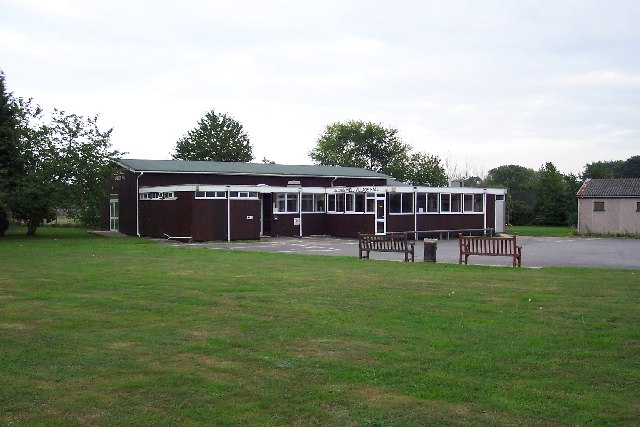
English: Village Hall at Jacobs Well. Jacobs Well was originally a small settlement around the junction of Clay Lane and the road to Sutton Green, not far from the River Wey. Today suburban bungalows and cul-de-sacs have sprung up and it is virtually on the outskirts of Guildford. In the fields close to the village can be seen the remains of a remarkable irrigation system developed by Sir Richard Weston in the first half of the 17th century. This led to the construction of the Wey Navigation, which is now owned by the National Trust. |
| Date | |
| Source | From geograph.org.uk |
| Author | Ron Strutt |
| Attribution (required by the license) | Ron Strutt / Village Hall at Jacobs Well / |
| Object location | | View this and other nearby images on: OpenStreetMap |
|---|
_&language=en)
Licensing

|
This image was taken from the Geograph project collection. See this photograph's page on the Geograph website for the photographer's contact details. The copyright on this image is owned by Ron Strutt and is licensed for reuse under the Creative Commons Attribution-ShareAlike 2.0 license.
|
This file is licensed under the Creative Commons Attribution-Share Alike 2.0 Generic license.
Attribution: Ron Strutt
- You are free:
- to share – to copy, distribute and transmit the work
- to remix – to adapt the work
- Under the following conditions:
- attribution – You must give appropriate credit, provide a link to the license, and indicate if changes were made. You may do so in any reasonable manner, but not in any way that suggests the licensor endorses you or your use.
- share alike – If you remix, transform, or build upon the material, you must distribute your contributions under the same or compatible license as the original.
File history
Click on a date/time to view the file as it appeared at that time.
| Date/Time | Thumbnail | Dimensions | User | Comment | |
|---|---|---|---|---|---|
| current | 20:44, 30 January 2010 | | 640 × 427 (72 KB) | GeographBot | == {{int:filedesc}} == {{Information |description={{en|1=Village Hall at Jacobs Well. Jacobs Well was originally a small settlement around the junction of Clay Lane and the road to Sutton Green, not far from the River Wey. Today suburban bungalows and cul |
File usage
The following pages on the English Wikipedia use this file (pages on other projects are not listed):
Global file usage
The following other wikis use this file:
- Usage on azb.wikipedia.org
- Usage on fa.wikipedia.org
- Usage on pl.wikipedia.org
- Usage on sv.wikipedia.org
- Usage on www.wikidata.org