
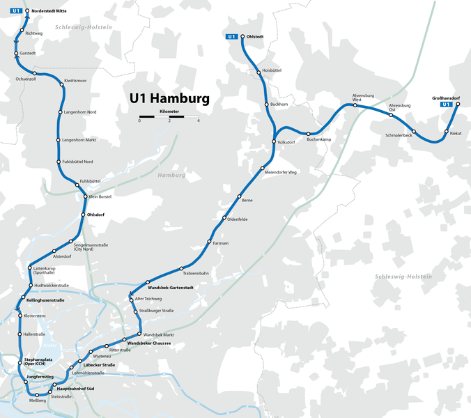
File:Hamburger Hochbahn - Plan der Linie U1.png

Size of this preview: 676 × 600 pixels. Other resolutions: 271 × 240 pixels | 541 × 480 pixels | 866 × 768 pixels | 1,154 × 1,024 pixels | 2,309 × 2,048 pixels | 2,895 × 2,568 pixels.
Original file (2,895 × 2,568 pixels, file size: 528 KB, MIME type: image/png)
| This is a file from the Wikimedia Commons. Information from its description page there is shown below. Commons is a freely licensed media file repository. You can help. |
| Description |
|
| Date | see file history |
| Source |
Self made, using the information from
and using the following graphic: Created with Adobe Illustrator 13.0 If you ask for, I will give you the .ai-file or I'll correct it or create other language versions. |
| Author | Maximilian Dörrbecker (Chumwa) |
| Permission (Reusing this file) |
I, the copyright holder of this work, hereby publish it under the following license: This file is licensed under the Creative Commons Attribution-Share Alike 2.5 Generic license.
Sie dürfen das Bild zu den folgenden Bedingungen nutzen:
|
| Other versions |
|

.png)


File history
Click on a date/time to view the file as it appeared at that time.
| Date/Time | Thumbnail | Dimensions | User | Comment | |
|---|---|---|---|---|---|
| current | 10:20, 12 March 2022 | | 2,895 × 2,568 (528 KB) | NordNordWest | update (U4 extension) |
| 13:03, 11 January 2020 |  | 2,895 × 2,568 (528 KB) | NordNordWest | update (Oldenfelde) | |
| 20:29, 21 June 2017 |  | 2,895 × 2,568 (774 KB) | Chumwa | update (U4 extension) | |
| 18:02, 31 May 2009 |  | 2,895 × 2,568 (754 KB) | Chumwa | {{Information |Description= *{{ de }} Karte der Linie U1 der Hamburger Hochbahn *{{ en }} Map of Hochbahn Hamburg route U1 |Source=Self made, using the information from * de:Hamburger Hochbahn * de:U-Bahn Hamburg (from [http://de.wikipedia.org/w |
File usage
The following pages on the English Wikipedia use this file (pages on other projects are not listed):
Global file usage
The following other wikis use this file:
- Usage on ca.wikipedia.org
- Usage on de.wikipedia.org
- Usage on de.wiktionary.org
- Usage on fr.wikipedia.org
- Ahrensburg West (métro de Hambourg)
- Kellinghusenstraße (métro de Hambourg)
- Gare de Norderstedt Mitte
- Wandsbek Markt (métro de Hambourg)
- Lübecker Straße (métro de Hambourg)
- Gare de Hambourg-Jungfernstieg
- Gare de Hambourg-Wandsbeker Chaussee
- Meßberg (métro de Hambourg)
- Alter Teichweg (métro de Hambourg)
- Klosterstern (métro de Hambourg)
- Lattenkamp (métro de Hambourg)
- Usage on it.wikipedia.org
- Usage on nl.wikipedia.org
- Usage on pl.wikipedia.org
- Usage on sv.wikipedia.org
- Usage on www.wikidata.org