
File:The Amazing Race 18 map.png

Size of this preview: 800 × 411 pixels. Other resolutions: 320 × 164 pixels | 640 × 329 pixels | 1,024 × 526 pixels | 1,280 × 657 pixels | 2,000 × 1,027 pixels.
Original file (2,000 × 1,027 pixels, file size: 212 KB, MIME type: image/png)
| This is a file from the Wikimedia Commons. Information from its description page there is shown below. Commons is a freely licensed media file repository. You can help. |
| The Amazing Race maps |
| Original U.S. version |
| Countries visited · US states |
| Route maps |
| Seasons: 1 · 2 · 3 · 4 · 5 · 6 · 7 · 8 · 9 · 10 · 11 · 12 · 13 · 14 · 15 · 16 · 17 · 18 · 19 (svg) · 20 (svg) · 21 · 22 · 23 · 24 · 25 · 26 · 27 · 28 ˑ 29 ˑ 30 ˑ 31 ˑ 32 ˑ 33 ˑ 34 ˑ 35 ˑ 36 |

|
This map image could be re-created using vector graphics as an SVG file. This has several advantages; see Commons:Media for cleanup for more information. If an SVG form of this image is available, please upload it and afterwards replace this template with
{{vector version available|new image name}}.
It is recommended to name the SVG file “The Amazing Race 18 map.svg”—then the template Vector version available (or Vva) does not need the new image name parameter. |
Summary
| Description |
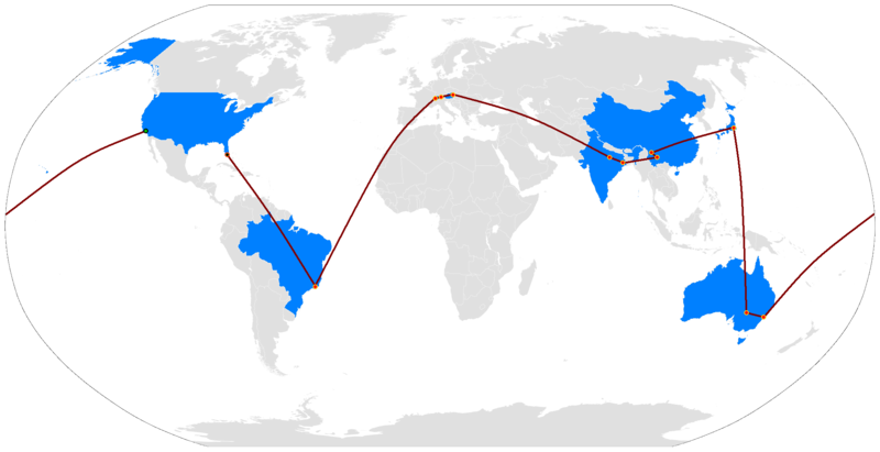
English: The Route Map of The Amazing Race 18 |
| Date | (UTC) |
| Source | BlankMap-World.png |
| Author | —Ryūlóng (竜龍) |
| Other versions |
 |
Licensing
| I, the copyright holder of this work, release this work into the public domain. This applies worldwide. In some countries this may not be legally possible; if so: I grant anyone the right to use this work for any purpose, without any conditions, unless such conditions are required by law. |
File history
Click on a date/time to view the file as it appeared at that time.
| Date/Time | Thumbnail | Dimensions | User | Comment | |
|---|---|---|---|---|---|
| current | 12:25, 8 March 2018 | | 2,000 × 1,027 (212 KB) | ApprenticeFan | new version but modified |
| 01:30, 11 March 2013 |  | 1,480 × 625 (67 KB) | ApprenticeFan | improved finish line dot color | |
| 01:26, 12 November 2012 |  | 1,480 × 625 (65 KB) | ApprenticeFan | Improved with start/finish line dot colors | |
| 09:42, 23 December 2011 |  | 1,480 × 625 (66 KB) | ApprenticeFan | stronger colors with dots in actual correct locations | |
| 00:40, 6 May 2011 |  | 1,410 × 625 (54 KB) | Ryulong | Uploading the full map considering reliable sources show us the full route | |
| 23:41, 24 April 2011 |  | 1,410 × 625 (48 KB) | Ryulong | Uploading travel to Liechtenstein and Switzerland a bit early | |
| 01:53, 18 April 2011 |  | 1,410 × 625 (48 KB) | Ryulong | Wien | |
| 01:43, 11 April 2011 |  | 1,410 × 625 (45 KB) | Ryulong | update | |
| 23:36, 27 March 2011 |  | 1,410 × 625 (45 KB) | Ryulong | Updating with Kolkata jump a little early | |
| 01:33, 14 March 2011 |  | 1,410 × 625 (44 KB) | Ryulong | YUNNAN |
File usage
The following pages on the English Wikipedia use this file (pages on other projects are not listed):
Global file usage
The following other wikis use this file:
- Usage on fr.wikipedia.org
- Usage on id.wikipedia.org
- Usage on no.wikipedia.org
- Usage on pl.wikipedia.org
- Usage on th.wikipedia.org
- Usage on vi.wikipedia.org
- Usage on zh.wikipedia.org