
Colotepec River
| Colotepec River | |
|---|---|
 Location of mouth | |
| Location | |
| Country | Mexico |
| State | Oaxaca |
| Physical characteristics | |
| Mouth | |
• coordinates | 15°48′34″N 97°01′27″W / 15.809355°N 97.024251°W |
• elevation | Sea level |
The Colotepec River is a river of Mexico.[1]
See also[edit]
References[edit]
- ^ "Rio Colotepec". GeoNames. Retrieved July 26, 2021.
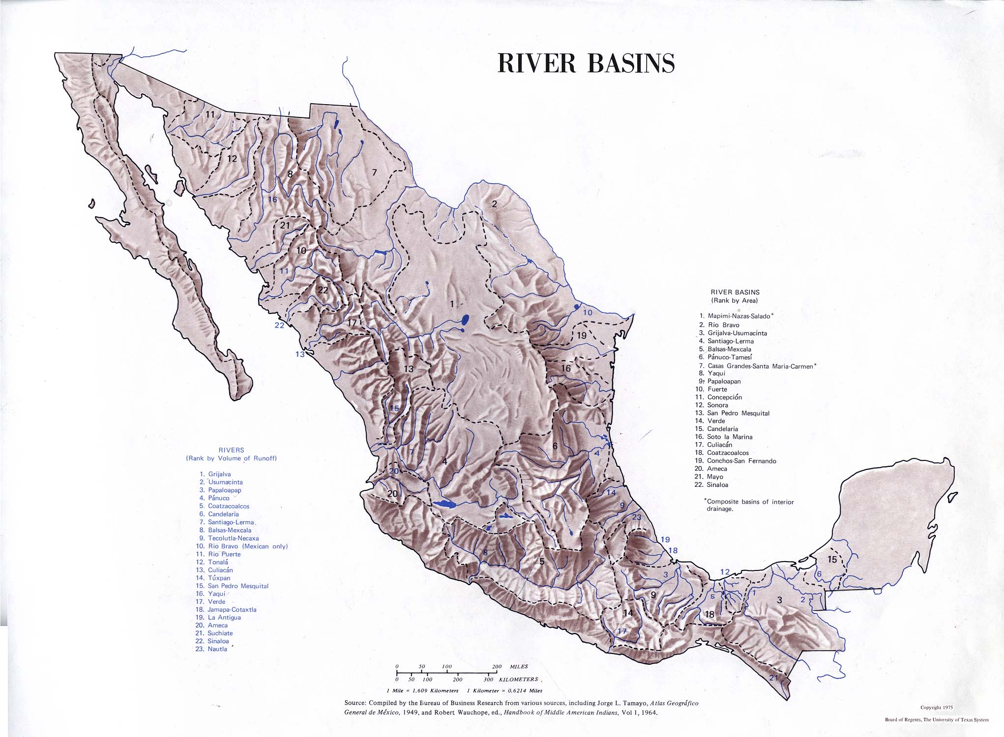
- Atlas of Mexico, 1975[1]
- American World Atlas. Prentice Hall. 1984.
- The New International Atlas. Rand McNally. 1993.
This article related to a river in Mexico is a stub. You can help Wikipedia by expanding it. |
- ^ "map from book". Archived from the original on 2019-05-25.