
File:Karte der Moselstaustufen.png

Size of this preview: 330 × 600 pixels. Other resolutions: 132 × 240 pixels | 264 × 480 pixels | 422 × 768 pixels | 563 × 1,024 pixels | 1,480 × 2,689 pixels.
Original file (1,480 × 2,689 pixels, file size: 284 KB, MIME type: image/png)
| This is a file from the Wikimedia Commons. Information from its description page there is shown below. Commons is a freely licensed media file repository. You can help. |
| Description |
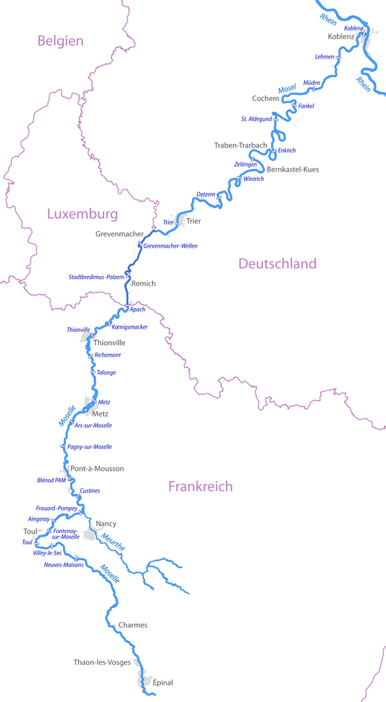
Deutsch: Karte der Moselstaustufen |
| Date | see file history |
| Source | Own work, using OpenStreetMap data |
| Author | Maximilian Dörrbecker (Chumwa) |
| Permission (Reusing this file) |
All OpenStreetMap data and maps are Creative Commons "CC-BY-SA 2.0" licensed This file is licensed under the Creative Commons Attribution-Share Alike 2.0 Generic license.
|
File history
Click on a date/time to view the file as it appeared at that time.
| Date/Time | Thumbnail | Dimensions | User | Comment | |
|---|---|---|---|---|---|
| current | 20:33, 28 July 2009 | | 1,480 × 2,689 (284 KB) | Chumwa | Wellen korrigiert, Ländergrenzen hinzugefügt |
| 21:51, 27 July 2009 |  | 1,451 × 2,689 (221 KB) | Chumwa | {{Information |Description={{de|Karte der Moselstaustufen}} |Author=Maximilian Dörrbecker (Chumwa) |Source=own work, using OpenStreetMap data |Date=see file history |Permission=All OpenStreetMap data and maps a |
File usage
The following pages on the English Wikipedia use this file (pages on other projects are not listed):
Global file usage
The following other wikis use this file:
- Usage on de.wikipedia.org
- Usage on lb.wikipedia.org
- Usage on sr.wikipedia.org