
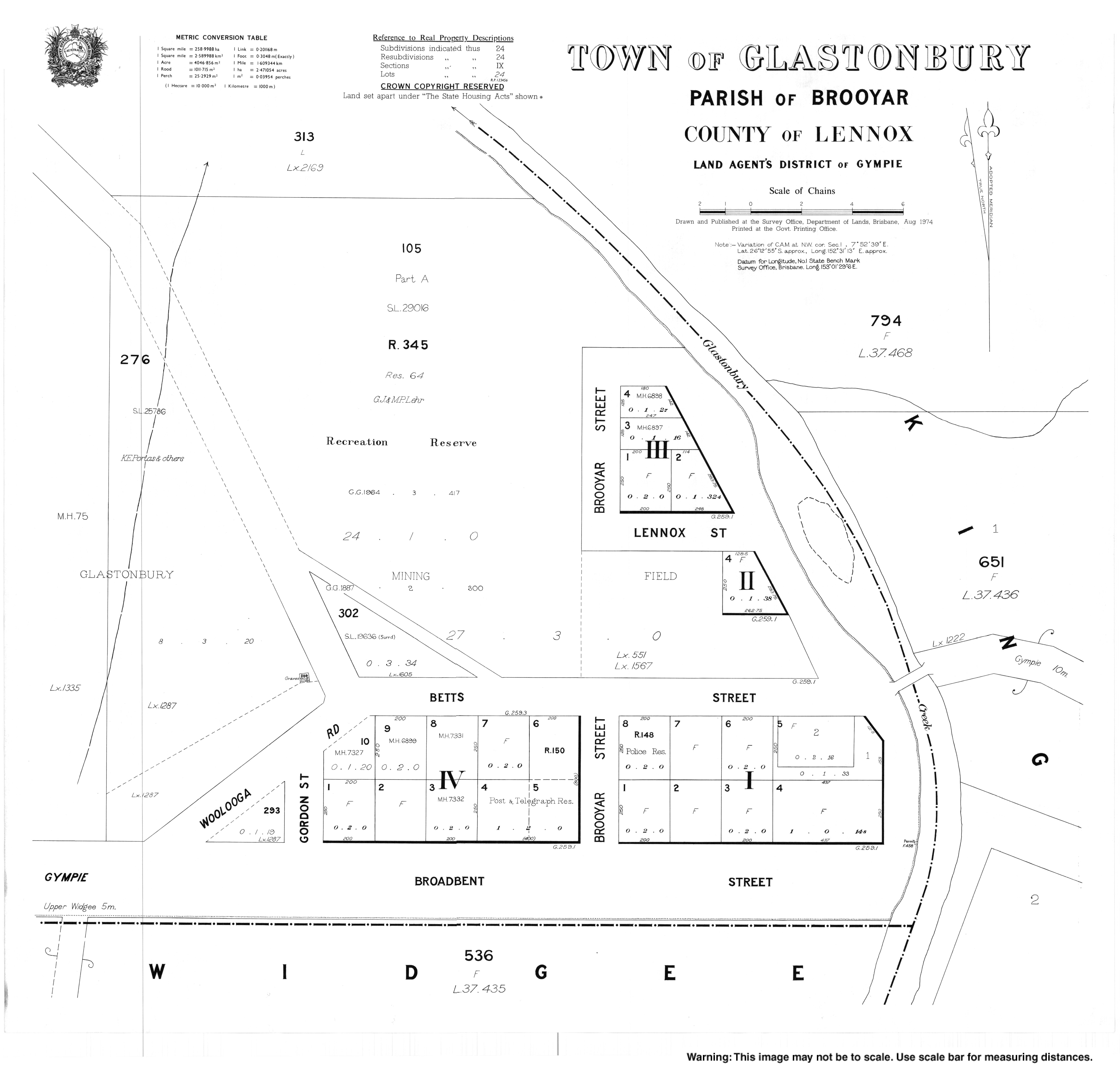
Glastonbury, Queensland
| Glastonbury Queensland | |||||||||||||||
|---|---|---|---|---|---|---|---|---|---|---|---|---|---|---|---|
 Country road, Glastonbury | |||||||||||||||
 Glastonbury | |||||||||||||||
| Coordinates | 26°12′47″S 152°31′11″E / 26.2130°S 152.5197°E | ||||||||||||||
| Population | 351 (2016 census)[1] | ||||||||||||||
| • Density | 4.769/km2 (12.352/sq mi) | ||||||||||||||
| Postcode(s) | 4570 | ||||||||||||||
| Area | 73.6 km2 (28.4 sq mi) | ||||||||||||||
| Time zone | AEST (UTC+10:00) | ||||||||||||||
| Location | |||||||||||||||
| LGA(s) | Gympie Region | ||||||||||||||
| State electorate(s) | Gympie | ||||||||||||||
| Federal division(s) | Wide Bay | ||||||||||||||
| |||||||||||||||
Glastonbury is a rural town and locality in the Gympie Region, Queensland, Australia.[2][3] In the 2016 census, the locality of Glastonbury had a population of 351 people.[1]
Geography[edit]
Greendale is a neighbourhood in the north of the locality (26°11′00″S 152°32′00″E / 26.1833°S 152.5333°E).[4]
History[edit]
Glastonbury Provisional School opened on 16 August 1879. On 1 January 1909, it became Glastonbury State School. It closed on 6 June 1960. It was also known as Glastonbury Creek State School.[5]
Greendale Provisional School opened on 21 October 1930 and closed in 1941. It reopened in 1947 and in 1948 became Greendale State School. It closed on 5 June 1960.[5]
In the 2016 census, the locality of Glastonbury had a population of 351 people.[1]
Heritage listings[edit]
Glastonbury has the following heritage sites:
- 1329 Glastonbury Road: Glastonbury Hall[6]
References[edit]
- ^ a b c Australian Bureau of Statistics (27 June 2017). "Glastonbury (SSC)". 2016 Census QuickStats. Retrieved 20 October 2018.
- ^ "Glastonbury – town in Gympie Region (entry 13893)". Queensland Place Names. Queensland Government. Retrieved 27 December 2020.
- ^ "Glastonbury – locality in Gympie Region (entry 46331)". Queensland Place Names. Queensland Government. Retrieved 27 December 2020.
- ^ "Greendale – locality unbounded in Gympie Regional (entry 14769)". Queensland Place Names. Queensland Government. Retrieved 27 December 2020.
- ^ a b Queensland Family History Society (2010), Queensland schools past and present (Version 1.01 ed.), Queensland Family History Society, ISBN 978-1-921171-26-0
- ^ "Glastonbury Hall" (PDF). Local Heritage Register. Gympie Regional Council. Archived (PDF) from the original on 17 January 2021. Retrieved 17 January 2021.
Further reading[edit]
- Scougall, J. (1985). Gympie South & district schools : 75th anniversary. Gympie South State School – via State Library of Queensland. — includes other schools including Calico Creek, Lagoon Pocket, Pie Creek, Langshaw (Eel Creek), Mooloo (Mooloo Road), Warrawee, Glastonbury, Scrubby Creek, and Greendale