
User:Sengkang/Gallery/North-Eastern Islands Planning Area
< User:Sengkang | Gallery
This is a catalogue of photographs that I have taken of Singapore geographical features, infrastructure and buildings in my leisure time. All images shown may be used anywhere in Wikipedia. Do drop me a note at my talk page if you intend to use them for other purposes. Thanks!
North-Eastern Islands Planning Area[edit]
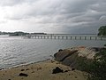
Serangoon Harbour[edit]

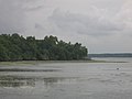
Pulau Sekudu[edit]


Pulau Ubin[edit]


Chek Jawa[edit]


-
 Visitor Centre
 -
 Visitor Centre
 -
 Information Kiosk
 -
 Jejawi Tower
 -
 Jejawi Tower
 -
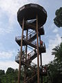 Jejawi Tower
 -
 Nypa fruticans
 -
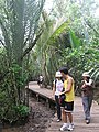 Mangrove Boardwalk
 -
 Mangrove Boardwalk
 -
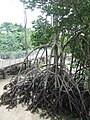
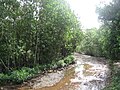 Mangroves
 -
 Mangrove Boardwalk
 -
 Mangrove Boardwalk
 -
 Seagrass Lagoon
 -
 Seagrass Lagoon and Mangroves
 -
 Mangrove Boardwalk
 -
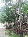 Mangroves
 -
 Signs
Signs -
 Mangroves
 -
 Mangroves
 -
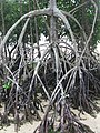 Mangroves
 -
 Mangroves
 -
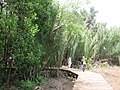
 Mangrove Boardwalk
 -
 Coastal Forest
 -
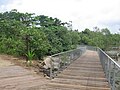
 Coastal Boardwalk
 -
 Coastal Forest
 -
 Seagrass Lagoon
 -
Seagrass Lagoon
-
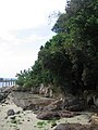
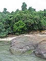 Rocky Shore
 -
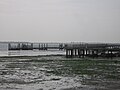
 Floating Pontoon
 -
 Floating Pontoon
 -
Wetlands
-
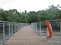
 Coastal Boardwalk
 -
 Coastal Boardwalk
 -
 Coastal Boardwalk
 -
 Coastal Boardwalk
 -
 Coastal Boardwalk
 -
 Coastal Boardwalk
 -
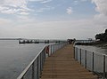
 Viewing Jetty


