West Terrace, Adelaide
This article needs additional citations for verification. (May 2022) |
West Terrace | |
|---|---|
 | |
| South-facing aerial view of West Terrace Cemetery, westerly adjacent to West Terrace and northerly adjacent to Anzac Highway | |
| Coordinates | |
| General information | |
| Type | Street |
| Location | Adelaide city centre |
| Length | 1.6 km (1.0 mi)[1] |
| Opened | 1837 |
| Former route number | |
| Major junctions | |
| North end | North Terrace Port Road Adelaide |
| South end | South Terrace Goodwood Road Anzac Highway Adelaide |
| Location(s) | |
| LGA(s) | City of Adelaide |
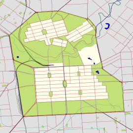
West Terrace is a street in Adelaide, South Australia. It is the westernmost street of the Adelaide city centre. It ends at North Terrace and South Terrace, and connects to Port Road and Anzac Highway.
The southern end of West Terrace, where it connects to Goodwood Road and Anzac Highway, is home to a Rydges Hotel and the West Terrace Cemetery. The northern reaches are occupied by several car dealerships, and hq, Adelaide's largest nightclub. The remainder of West Terrace is occupied by fast food outlets and smaller shops.
The Royal Adelaide Hospital is also located near West Terrace, having moved from premises at the eastern end of North Terrace in 2018.
West Terrace is also the location of Adelaide High School, South Australia's oldest government high school.
Traffic on West Terrace can be very heavy, as it is a major route in and out of the city, and some areas are designated traffic black spots.
There is a tram stop at the junction of West and North Terraces near the Royal Adelaide Hospital.
References[edit]
- ^ Google (30 May 2022). "West Terrace" (Map). Google Maps. Google. Retrieved 30 May 2022.
See also[edit]

