
User:Sengkang/Gallery/Kallang Planning Area
< User:Sengkang | Gallery
This is a catalogue of photographs that I have taken of Singapore geographical features, infrastructure and buildings in my leisure time. All images shown may be used anywhere in Wikipedia. Do drop me a note at my talk page if you intend to use them for other purposes. Thanks!
Kallang Planning Area[edit]
Farrer Park[edit]

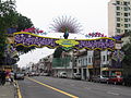
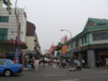
Bukit Timah Road[edit]


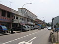
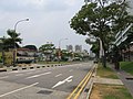
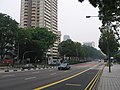
Cambridge Road[edit]
-
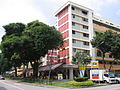 Cambridge Road
 -
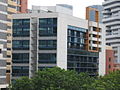
 Cambridge International Hostel
 -
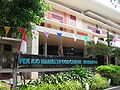
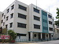
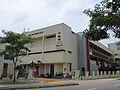
 Pek Kio Community Centre
 -
 Pek Kio Market and Food Centre
 -
 Singapore Institute of Materials Management


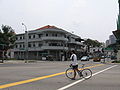
Dorset Road[edit]
-
 Dorset Road
 -
 Farrer Park Field
 -
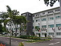
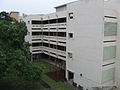
 Farrer Park Primary School
 -
 Farrer Park Primary School
 -
 Farrer Park Swimming Complex
 -
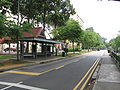
 Gloucester Road
 -
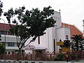 Parish of Christ Church


Farrer Park MRT station[edit]


Kampong Java Road[edit]
-
 Kampong Java Road
 -
 Kampong Java Road


Kandang Kerbau Women's and Children's Hospital[edit]
-

-

-

-

-
-

-

-

-

-
-
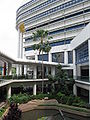
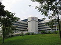
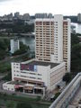
 Land Transport Authority, Hampshire Office (Former KK Hospital)


Race Course Road[edit]
-
 Race Course Road
 -
 Former Mee Toh School
 -
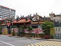 Leong San See Temple
 -
 Leong San See Temple
 -
 Owen Road
 -
 Rangoon Road
 -
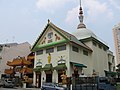 Sakaya Muni Buddha Gaya Temple
 -
 Starlight Road


Farrer Park View[edit]


Serangoon Road[edit]
-
-

-

-
 Komala's Restaurant
 -
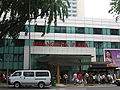
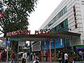
 Mustafa Centre
 -
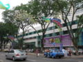
 Serangoon Plaza
 -
 Serangoon Plaza
 -
 Serangoon Plaza
 -
 Syed Alwi Road


Sri Srinivasa Perumal Temple[edit]


Tessensohn Road[edit]
-
 Tessensohn Road
 -
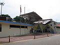
 The Civil Service Club, Tessensohn Road Clubhouse


Geylang[edit]
-
 Former Boon Keng Primary School
 -
 Former Boon Keng Primary School
 -
 Kallang-Paya Lebar Expressway under construction
 -
 Kallang-Paya Lebar Expressway under construction
 -
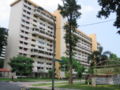
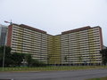 Upper Boon Keng Road Housing Estate


Kallang Sports Hub[edit]
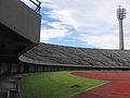
National Stadium[edit]


-

-

-

-

-

-

-

-

-

-

-
-

-

-
-

-

-

-

-

-

-

-

-
-

-

-

-
-

-
-

-

-

-

-
-

-
-

-

-

-

-

-

-

-

-

-

-

-

-

-
-

-

-

-

-

-

-
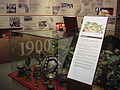
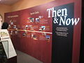
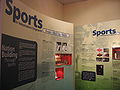
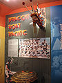
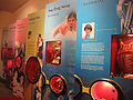
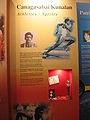
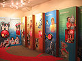
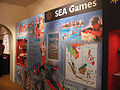
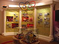
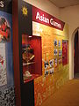
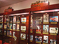
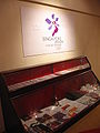
 Sports Museum
 -
 Sports Museum
 -
 Sports Museum
 -
 Sports Museum
 -
 Sports Museum
 -
 Sports Museum
 -
 Sports Museum
 -
Sports Museum
-
 Sports Museum
 -
 Sports Museum
 -
Sports Museum
-
 Sports Museum
 -
Sports Museum
-
 Sports Museum
 -
Sports Museum
-
 Sports Museum
 -
 Sports Museum
 -
 Sports Museum
 -
 Sports Museum
 -
 Sports Museum
 -
 Sports Museum
 -
 Sports Museum
 -
Sports Museum
-
 Sports Museum


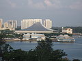
Singapore Indoor Stadium[edit]
-
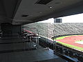
 Singapore Indoor Stadium
 -
 Singapore Indoor Stadium
 -
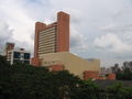
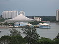 Singapore Indoor Stadium and Oasis Building


Rochor[edit]


-
 Beach Road Estate
 -
 Crawford Bridge
 -
 Crawford Court
 -
 Crawford Court
 -
 Crawford Court
 -
 Crawford Street
 -
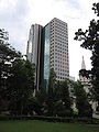
 Eng Cheong Tower
 -
 Golden Mile Food Centre
 -
 Golden Mile Tower
 -
 Hong Wen School
 -
 Hong Wen School
 -
 Immigration & Checkpoints Authority Building
 -
 Immigration & Checkpoints Authority Building
 -
 Immigration & Checkpoints Authority Building
 -
 InCity Lofts
 -
 Kallang Road
 -
 Kampong Glam Community Club
 -
 Keypoint
 -
 Kitchener Complex
 -
 Lavender MRT station
 -
 Merdeka Bridge
 -
 The Plaza
 -
 The Plaza
 -
 The Plaza
 -
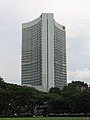 The Plaza
 -
 The Plaza
 -
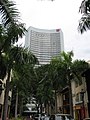
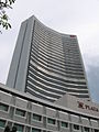
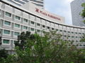 Plaza Parkroyal Hotel
 -
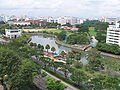 Rochor River
 -
 St. John Headquarters
 -
 St. John Headquarters
 -
 Victoria Street


Golden Mile Complex[edit]


Kallang River[edit]
-
 Kallang Basin
 -
 Kallang Basin
 -
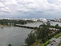
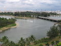 Kallang River Mouth
 -
 Kallang River Mouth
 -
 Kallang River Mouth
 -
 Kallang River Mouth


Masjid Hajjah Fatimah[edit]


Nicoll Highway[edit]


The Concourse[edit]


